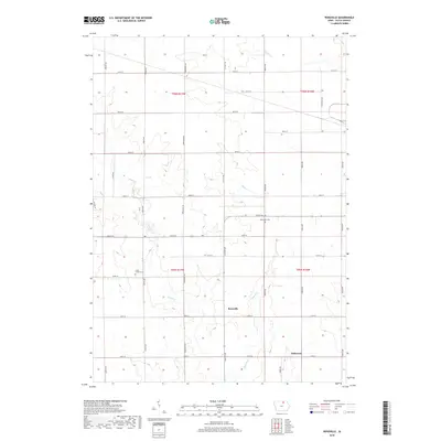
2018 Map of Roseville
USGS Topo · Published 2018About this map
Roseville and the nearby community of Oakwood anchor this 2018 survey of Floyd County, Iowa. The landscape is characterized by the section-line road grid that defines Midwestern agriculture, interrupted by the wandering paths of Flood Cr, Beaver Cr, and Stewart Cr. These waterways create natural corridors across the township boundaries of t95n r17w and t96n r17w, where small family and community markers remain visible. Genealogists can identify the locations of the Methodist Cem along Seven Mile Rd and the Flood Creek Cem near Jersey Ave. The map reflects a modern rural landscape where traditional homesteading patterns are still inscribed on the land through long-established thoroughfares such as Kirkwood Ave and Lancer Ave.
Find a feature on this map
35 named features on this map. Tap any name to fly to it.
Don’t see what you’re looking for? This feature index may not catch every label — zoom into the map to look around manually.
Map Details
Editions of this 2018 Roseville Map
This is the sole edition of this map. No revisions or reprints were ever made.
Other maps of this area

1954 · Mason City
USGS Topo · 1:250,000

1954 · Waterloo
USGS Topo · 1:250,000

1955 · Waterloo
USGS Topo · 1:250,000

1957 · Mason City
USGS Topo · 1:250,000

1958 · Mason City
USGS Topo · 1:250,000

1971 · Rockford
USGS Topo · 1:24,000

1971 · Orchard
USGS Topo · 1:24,000

1971 · Rudd
USGS Topo · 1:24,000

1971 · Charles City
USGS Topo · 1:24,000

1971 · Nashua NW
USGS Topo · 1:24,000