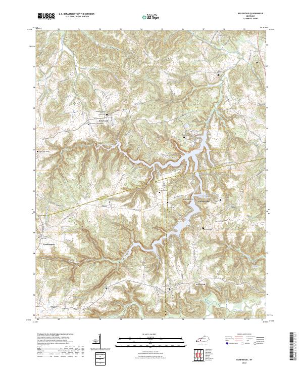
2022 Map of Rosewood
USGS Topo · Published 2022About this map
The boundary lines of Muhlenberg, Todd, and Logan counties converge in this southern Kentucky landscape, where the settlement of Rosewood sits atop the ridges above Sulphur Spring Creek. This modern survey details a rural network of family-named roads and remote burial grounds like the Green Brier School House Cem and Myers Chapel Cem. The terrain is defined by dramatic elevation changes near the Whiterock Cliff, overlooking the waters of Whiskey Bay.
Find a feature on this map
117 named features on this map. Tap any name to fly to it.
Don’t see what you’re looking for? This feature index may not catch every label — zoom into the map to look around manually.
Map Details
Editions of this 2022 Rosewood Map
This is the sole edition of this map. No revisions or reprints were ever made.
Other maps of this area
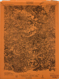
1911 · Drakesboro
USGS Topo · 1:48,000
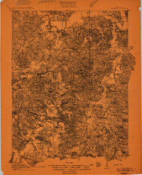
1911 · Dunmor
USGS Topo · 1:48,000
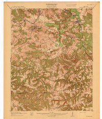
1913 · Drakesboro
USGS Topo · 1:62,500
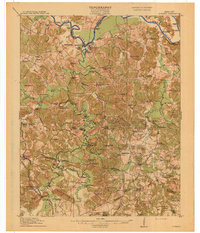
1914 · Dunmor
USGS Topo · 1:62,500
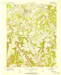
1951 · Lewisburg
USGS Topo · 1:24,000
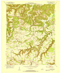
1952 · Sharon Grove
USGS Topo · 1:24,000
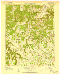
1952 · Allegre
USGS Topo · 1:24,000
1952 · Greenville
USGS Topo · 1:24,000
1953 · Drakesboro
USGS Topo · 1:24,000
1953 · Rosewood
USGS Topo · 1:24,000