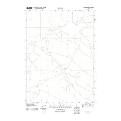
2010 Map of Roseworth NE
USGS Topo · Published 2010About this map
Salmon Falls Creek and its major tributaries, Deep Creek and Cedar Creek, carve a series of winding paths through this agricultural expanse in southern Idaho. The landscape is defined by the strict geometry of a county road grid, with routes such as E 3400 N and N 1500 E bordering large sections of farmland. A critical engineering feature of this high-desert environment is the High Line Canal, which snakes across the northern sections of the map to support the local irrigation network. The mapping of these waterways and grid roads reveals the systematic development of the Snake River Plain’s edge, showing how water management and transit infrastructure have been integrated into the natural drainage patterns of the Salmon Falls basin.
Find a feature on this map
19 named features on this map. Tap any name to fly to it.
Don’t see what you’re looking for? This feature index may not catch every label — zoom into the map to look around manually.
Map Details
Editions of this 2010 Roseworth NE Map
This is the sole edition of this map. No revisions or reprints were ever made.
Other maps of this area

1950 · Jerome
USGS Topo · 1:62,500

1951 · Clover
USGS Topo · 1:24,000

1955 · Twin Falls
USGS Topo · 1:250,000

1958 · Twin Falls
USGS Topo · 1:250,000

1958 · Buhl
USGS Topo · 1:24,000

1959 · Buhl
USGS Topo · 1:62,500

1964 · Roseworth
USGS Topo · 1:24,000

1965 · Hollister SW
USGS Topo · 1:24,000

1965 · Roseworth SE
USGS Topo · 1:24,000

1965 · Roseworth NE
USGS Topo · 1:24,000