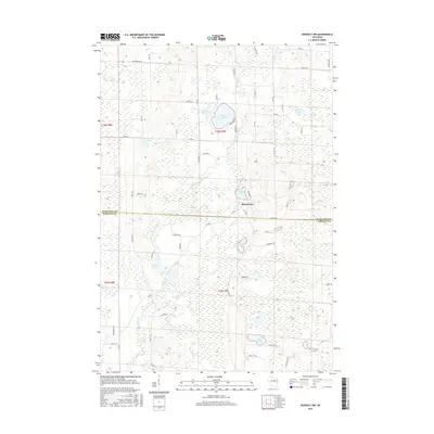
2015 Map of Rosholt NW
USGS Topo · Published 2015About this map
The Plover River winds through this central Wisconsin landscape, which sits along the border of Marathon and Portage counties. The small settlement of Shantytown serves as a local landmark, surrounded by a complex network of glacial water bodies including Big Bass Lake, Wadley Lake, and the tucked-away Glisezinski Lake. The terrain is defined by its many small basins and wetlands, evidenced by the clustered Chain Lakes and Twin Lakes to the south.
Find a feature on this map
60 named features on this map. Tap any name to fly to it.
Don’t see what you’re looking for? This feature index may not catch every label — zoom into the map to look around manually.
Map Details
Editions of this 2015 Rosholt NW Map
This is the sole edition of this map. No revisions or reprints were ever made.
Other maps of this area

1899 · Wausau
USGS Topo · 1:125,000

1902 · Wausau
USGS Topo · 1:125,000

1953 · Wausau
USGS Topo · 1:48,000

1953 · Hatley
USGS Topo · 1:48,000

1955 · Rosholt
USGS Topo · 1:48,000

1955 · Green Bay
USGS Topo · 1:250,000

1956 · Stevens Point
USGS Topo · 1:48,000

1963 · Wausau
USGS Topo · 1:62,500

1964 · Hatley
USGS Topo · 1:62,500

1969 · Rosholt
USGS Topo · 1:24,000