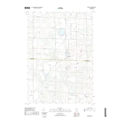
2018 Map of Rosholt NW
USGS Topo · Published 2018About this map
Shantytown serves as the primary focal point in this portion of central Wisconsin, situated near the headwaters and wetlands of the north-flowing Plover River. This landscape is defined by its glacial history, evidenced by a dense concentration of kettle lakes and marshes across the Marathon Co Portage Co line. Significant water bodies like Big Bass Lake, Wadley Lake, and Twin Lakes are interspersed with low-lying terrain drained by Lost Cr. The local road network, including Shantytown Dr and Ice Age Ln, highlights the area's transition from forest and wetland to rural settlement. This survey provides a precise accounting of the hydrologic features that have long shaped the land use and navigation of this region north of Stevens Point.
Find a feature on this map
56 named features on this map. Tap any name to fly to it.
Don’t see what you’re looking for? This feature index may not catch every label — zoom into the map to look around manually.
Map Details
Editions of this 2018 Rosholt NW Map
This is the sole edition of this map. No revisions or reprints were ever made.
Other maps of this area

1899 · Wausau
USGS Topo · 1:125,000

1902 · Wausau
USGS Topo · 1:125,000

1953 · Wausau
USGS Topo · 1:48,000

1953 · Hatley
USGS Topo · 1:48,000

1955 · Rosholt
USGS Topo · 1:48,000

1955 · Green Bay
USGS Topo · 1:250,000

1956 · Stevens Point
USGS Topo · 1:48,000

1963 · Wausau
USGS Topo · 1:62,500

1964 · Hatley
USGS Topo · 1:62,500

1969 · Rosholt
USGS Topo · 1:24,000