
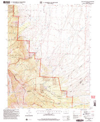
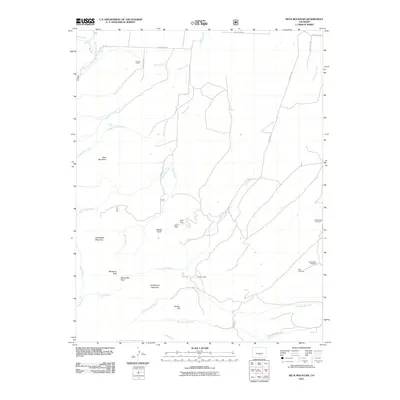
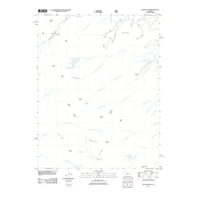
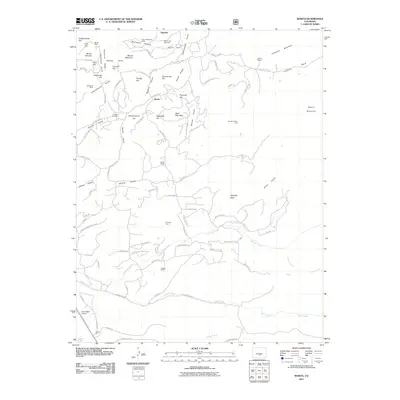
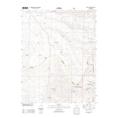
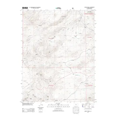
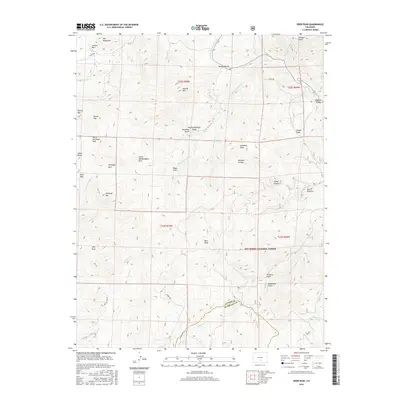
1954 Map of Rosita
USGS Topo · Published 1982About this map
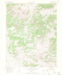
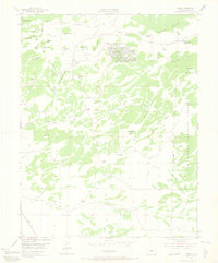
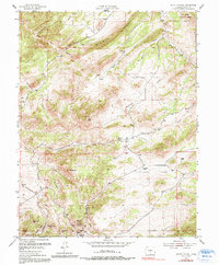
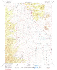
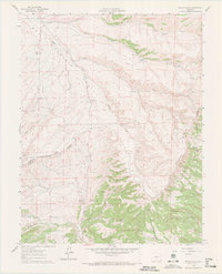
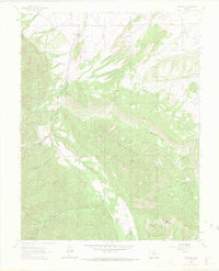
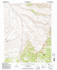
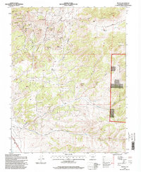
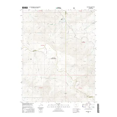
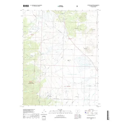
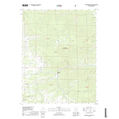
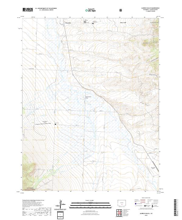
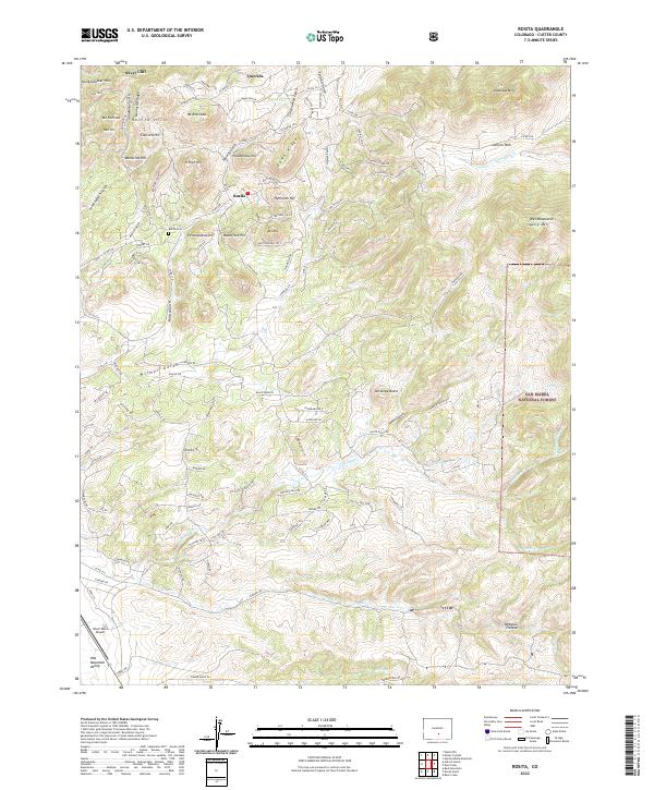
The Rosita Hills dominate this high-altitude landscape in Custer County, where the historic mining district surrounding Rosita and Querida is documented as it appeared in the mid-1950s. This survey, updated with late 1970s data, illustrates the transition from traditional prospecting to modern industrial activity, evidenced by the Perlite Quarry and other smaller Quarry sites along Aldrich Hill. The settlement pattern centers on the western slopes, where the Rosita Cem and established family holdings like Hobby Ranch and Smith Ranch dot the valleys between prominent peaks. Topographic detail captures the complex drainage systems of the area, including Antelope Creek, Lapin Creek, and Sheep Creek. The eastern portion of the map transitions into the San Isabel National Forest, showcasing the high-country terrain of Arkansas Mountain and the expansive Junkins Park.
Find a feature on this map
42 named features on this map. Tap any name to fly to it.
Don’t see what you’re looking for? This feature index may not catch every label — zoom into the map to look around manually.
Map Details
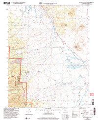
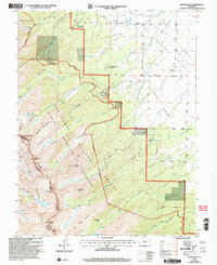
Editions of this 1954 Rosita Map
4 editions found

Historical Maps of Silver Cliff Through Time
91 maps found
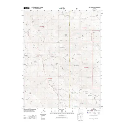
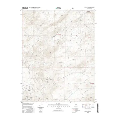
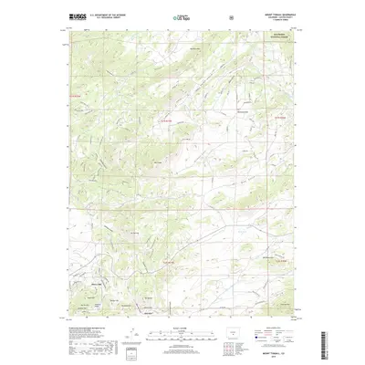
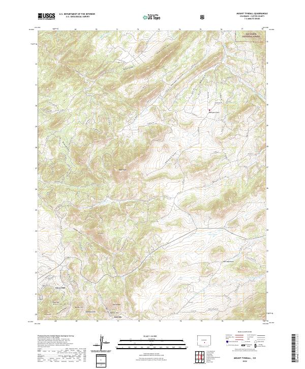
1954 Mount Tyndall
Custer County, CO
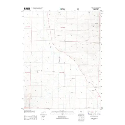
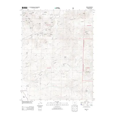
1954 Rosita
Custer County, CO
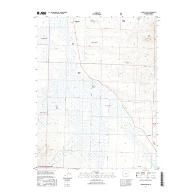
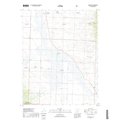
1957 Aldrich Gulch
Custer County, CO
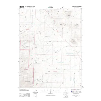
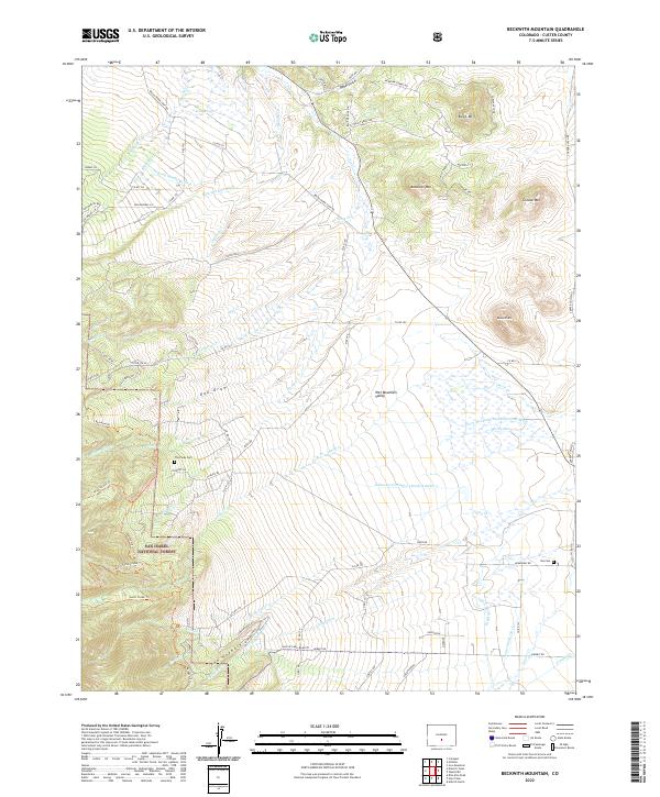
1958 Beckwith Mountain
Custer County, CO
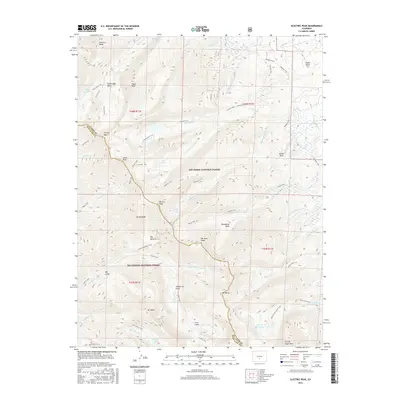
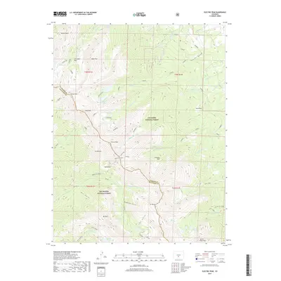
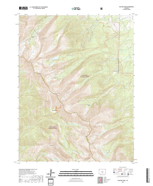
1959 Electric Peak
Custer County, CO
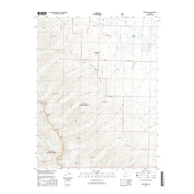
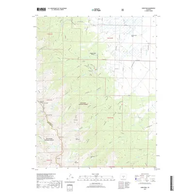
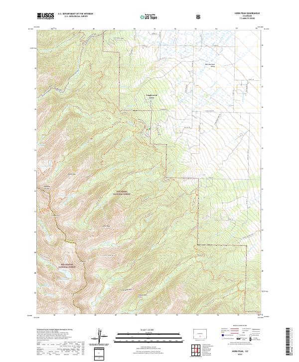
1959 Horn Peak
Custer County, CO
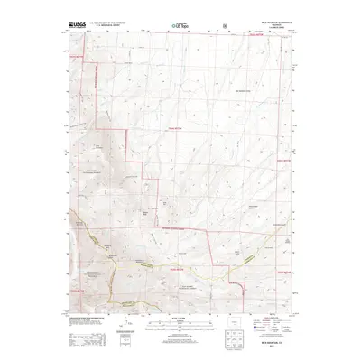
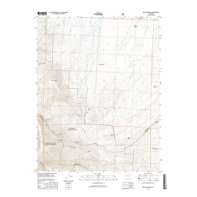
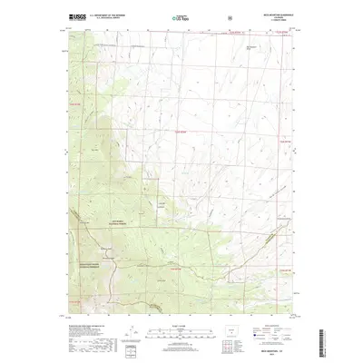
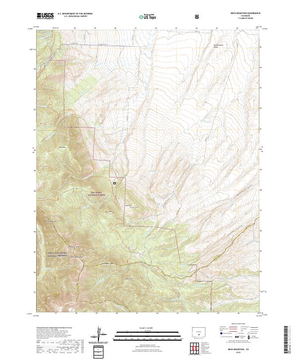
1960 Beck Mountain
Custer County, CO
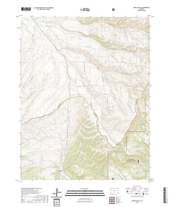
1960 Devils Gulch
Custer County, CO
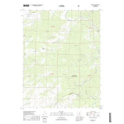
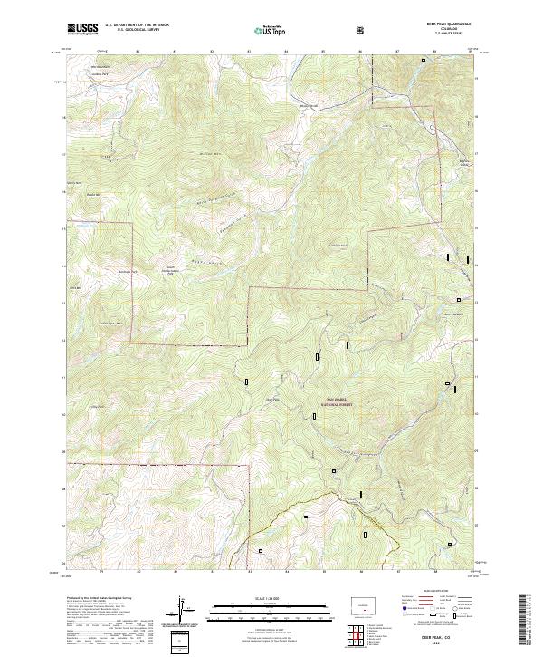
1963 Deer Peak
Custer County, CO
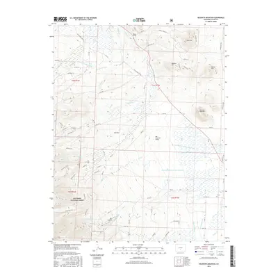
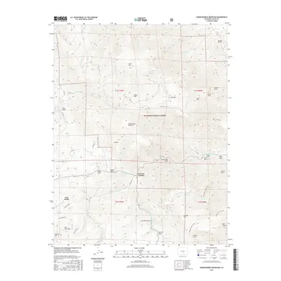
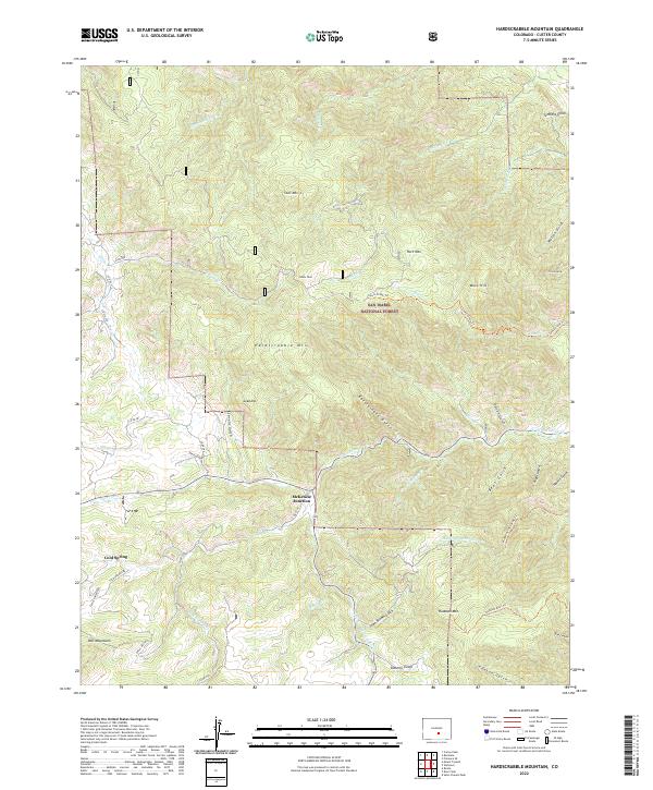
1963 Hardscrabble Mountain
Custer County, CO
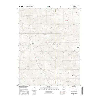
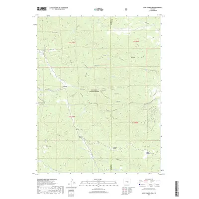
1963 Saint Charles Peak
Custer County, CO
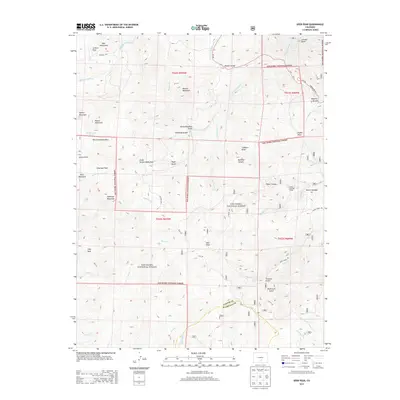
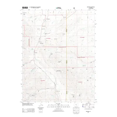
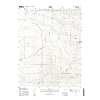
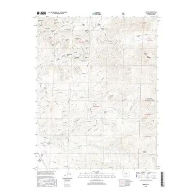
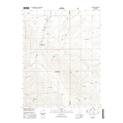
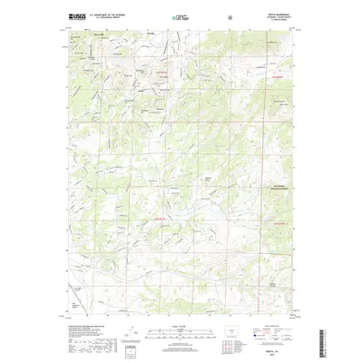
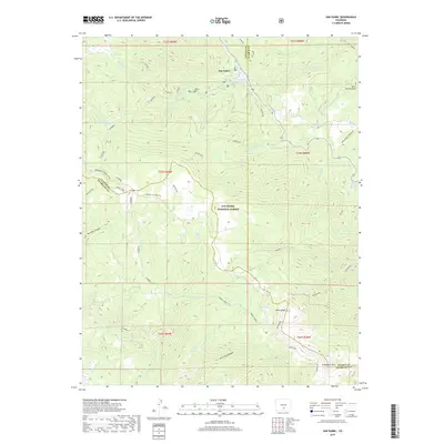
1963 Wetmore
Custer County, CO
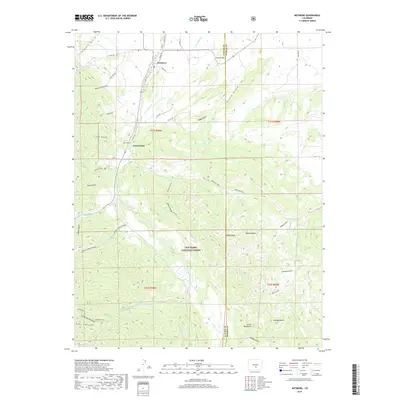
1969 San Isabel
Custer County, CO
1980 Electric Peak
Custer County, CO
1994 Deer Peak
Custer County, CO
1994 Devils Gulch
Custer County, CO
1994 Electric Peak
Custer County, CO
1994 Hardscrabble Mountain
Custer County, CO
1994 Mount Tyndall
Custer County, CO
1994 Rosita
Custer County, CO
1994 Saint Charles Peak
Custer County, CO
1994 San Isabel
Custer County, CO
1994 Wetmore
Custer County, CO
2001 Beck Mountain
Custer County, CO
2001 Beckwith Mountain
Custer County, CO
2001 Horn Peak
Custer County, CO
2011 Aldrich Gulch
Custer County, CO
2011 Beck Mountain
Custer County, CO
2011 Beckwith Mountain
Custer County, CO
2011 Deer Peak
Custer County, CO
2011 Devils Gulch
Custer County, CO
2011 Electric Peak
Custer County, CO
2011 Hardscrabble Mountain
Custer County, CO
2011 Horn Peak
Custer County, CO
2011 Mount Tyndall
Custer County, CO
2011 Rosita
Custer County, CO
2011 Saint Charles Peak
Custer County, CO
2011 San Isabel
Custer County, CO
2011 Wetmore
Custer County, CO
2013 Aldrich Gulch
Custer County, CO
2013 Beck Mountain
Custer County, CO
2013 Beckwith Mountain
Custer County, CO
2013 Deer Peak
Custer County, CO
2013 Devils Gulch
Custer County, CO
2013 Electric Peak
Custer County, CO
2013 Hardscrabble Mountain
Custer County, CO
2013 Horn Peak
Custer County, CO
2013 Mount Tyndall
Custer County, CO
2013 Rosita
Custer County, CO
2013 Saint Charles Peak
Custer County, CO
2013 San Isabel
Custer County, CO
2013 Wetmore
Custer County, CO
2016 Aldrich Gulch
Custer County, CO
2016 Beck Mountain
Custer County, CO
2016 Beckwith Mountain
Custer County, CO
2016 Deer Peak
Custer County, CO
2016 Devils Gulch
Custer County, CO
2016 Electric Peak
Custer County, CO
2016 Hardscrabble Mountain
Custer County, CO
2016 Horn Peak
Custer County, CO
2016 Mount Tyndall
Custer County, CO
2016 Rosita
Custer County, CO
2016 Saint Charles Peak
Custer County, CO
2016 San Isabel
Custer County, CO
2016 Wetmore
Custer County, CO
2019 Aldrich Gulch
Custer County, CO
2019 Beck Mountain
Custer County, CO
2019 Beckwith Mountain
Custer County, CO
2019 Deer Peak
Custer County, CO
2019 Devils Gulch
Custer County, CO
2019 Electric Peak
Custer County, CO
2019 Hardscrabble Mountain
Custer County, CO
2019 Horn Peak
Custer County, CO
2019 Mount Tyndall
Custer County, CO
2019 Rosita
Custer County, CO
2019 Saint Charles Peak
Custer County, CO
2019 San Isabel
Custer County, CO
2019 Wetmore
Custer County, CO
2022 Aldrich Gulch
Custer County, CO
2022 Beck Mountain
Custer County, CO
2022 Beckwith Mountain
Custer County, CO
2022 Deer Peak
Custer County, CO
2022 Devils Gulch
Custer County, CO
2022 Electric Peak
Custer County, CO
2022 Hardscrabble Mountain
Custer County, CO
2022 Horn Peak
Custer County, CO
2022 Mount Tyndall
Custer County, CO
2022 Rosita
Custer County, CO
2022 Saint Charles Peak
Custer County, CO
2022 San Isabel
Custer County, CO
2022 Wetmore
Custer County, CO