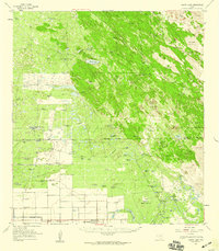
1956 Map of Rosita Lake
USGS Topo · Published 1959About this map
The boundary between Kenedy Co and Willacy Co defines the transition from the livestock-focused ranches of the north to the irrigated agricultural developments of the south. This coastal South Texas landscape is dominated by a complex network of watering holes and windmills, including the Charco Blanco Windmill and Santo Domingo Windmill, which were essential for maintaining cattle across the dry Sand Dunes. The northern portion is characterized by large private holdings like the Punta del Monte Ranch and San Francisco Ranch.
Find a feature on this map
37 named features on this map. Tap any name to fly to it.
Don’t see what you’re looking for? This feature index may not catch every label — zoom into the map to look around manually.
Map Details
Editions of this 1956 Rosita Lake Map
This is the sole edition of this map. No revisions or reprints were ever made.
Other maps of this area

1921 · Tarida Ranch
USGS Topo · 1:62,500

1922 · La Sal Vieja
USGS Topo · 1:62,500

1923 · Armstrong
USGS Topo · 1:62,500

1923 · Lopena Island
USGS Topo · 1:62,500

1923 · Saltillo Ranch
USGS Topo · 1:62,500

1952 · South of Potrero Lopeno NW
USGS Topo · 1:24,000

1952 · Hawk Island
USGS Topo · 1:24,000

1952 · Port Mansfield
USGS Topo · 1:24,000

1952 · Potrero Lopeno SW
USGS Topo · 1:24,000

1952 · Potrero Lopeno
USGS Topo · 1:62,500