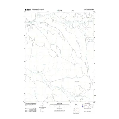
2012 Map of Ross Canyon
USGS Topo · Published 2012About this map
Ross Canyon and the high drainage basins of Plumas County define this high-altitude landscape. The map reveals a specialized land-use pattern where seasonal ranching and forestry took precedence over permanent settlements. Features like the Stone Dairy Cabin, Jenkins Sheep Camp, and Ridenour Barn highlight the historical importance of mountain pasturage and livestock operations in the Sierra Nevada.
Find a feature on this map
53 named features on this map. Tap any name to fly to it.
Don’t see what you’re looking for? This feature index may not catch every label — zoom into the map to look around manually.
Map Details
Editions of this 2012 Ross Canyon Map
This is the sole edition of this map. No revisions or reprints were ever made.
Other maps of this area

1886 · Honey Lake
USGS Topo · 1:250,000

1890 · Sierraville
USGS Topo · 1:125,000

1891 · Downieville
USGS Topo · 1:125,000

1891 · Honey Lake
USGS Topo · 1:250,000

1892 · Sierraville
USGS Topo · 1:125,000

1893 · Honey Lake
USGS Topo · 1:250,000

1893 · Downieville
USGS Topo · 1:125,000

1894 · Sierraville
USGS Topo · 1:125,000

1895 · Downieville
USGS Topo · 1:125,000

1896 · Downieville
USGS Topo · 1:125,000