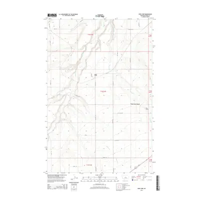
2014 Map of Ross Fork
USGS Topo · Published 2014About this map
The Judith River meanders through the northern reaches of this Fergus County landscape, where the high plains are carved by numerous drainages. The small settlement of Ross Fork serves as a central point in a region defined by agricultural life and the Hutterite communal tradition at King Colony Ranch. This landscape is deeply etched by water, with Ross Fork Cr, Little Rock Cr, and Big Rock Cr creating a complex network of coulees and breaks. The terrain rises toward features like Johnson Hill Rd and King Coulee, reflecting the high-elevation ranching character of central Montana. A grid of rural routes including Ross Fork RD and Wichman RD connects isolated homesteads and ranching operations, while Us-87 skirts the southern edge, providing a primary link to the broader region.
Find a feature on this map
30 named features on this map. Tap any name to fly to it.
Don’t see what you’re looking for? This feature index may not catch every label — zoom into the map to look around manually.
Map Details
Editions of this 2014 Ross Fork Map
This is the sole edition of this map. No revisions or reprints were ever made.
Other maps of this area

1889 · Big Snowy Mountain
USGS Topo · 1:250,000

1893 · Big Snowy Mountain
USGS Topo · 1:250,000

1954 · Roundup
USGS Topo · 1:250,000

1954 · Lewistown
USGS Topo · 1:250,000

1958 · Roundup
USGS Topo · 1:250,000

1959 · Lewistown
USGS Topo · 1:250,000

1970 · Harwood Bench
USGS Topo · 1:24,000

1970 · Danvers
USGS Topo · 1:24,000

1970 · Glengarry
USGS Topo · 1:24,000

1970 · Moore
USGS Topo · 1:24,000