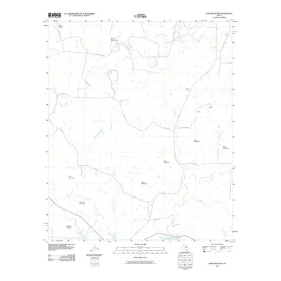
2010 Map of Ross Mountain
USGS Topo · Published 2010About this map
Ross Mountain and a series of prominent peaks define this North Texas landscape, where the northern waters of Possum Kingdom Lake reach into the southern edge of the survey. The terrain is marked by distinct geological formations, including Cement Mountain, Bear Mountain, and Indian Mountain, creating a rugged backdrop for the rural road network. Local transport centers on FM 1191 and various family-named routes like Birdwell Rd and Coley Rd, reflecting the area's ranching and agricultural roots.
Find a feature on this map
38 named features on this map. Tap any name to fly to it.
Don’t see what you’re looking for? This feature index may not catch every label — zoom into the map to look around manually.
Map Details
Editions of this 2010 Ross Mountain Map
This is the sole edition of this map. No revisions or reprints were ever made.
Other maps of this area

1890 · Breckenridge
USGS Topo · 1:125,000

1891 · Palo Pinto
USGS Topo · 1:125,000

1918 · Palo Pinto
USGS Topo · 1:125,000

1924 · Breckenridge 1-a
USGS Topo · 1:48,000

1924 · Palo Pinto 2-b
USGS Topo · 1:48,000

1924 · Palo Pinto 2-a
USGS Topo · 1:48,000

1924 · Graham 4-d
USGS Topo · 1:48,000

1927 · Graham
USGS Topo · 1:62,500

1927 · Pickwick
USGS Topo · 1:62,500

1931 · Ivan
USGS Topo · 1:62,500