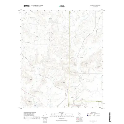
2019 Map of Ross Mountain
USGS Topo · Published 2019About this map
The terrain of Palo Pinto County, Texas, is defined by an intricate network of waterways draining the northern reaches of the region. Board Timber Cr and Board Tree Cr flow through the eastern portion of the quadrangle, while the western side is marked by the winding path of Filibuster Cr. These small branches and creeks suggest a landscape historically shaped by seasonal water flow and cattle ranching, with the topography guiding the placement of local roads and land boundaries. Smaller tributaries such as Coon Br and McCumber Br feed into larger systems like Rock Cr, illustrating the natural drainage patterns that have influenced settlement and transportation in this part of north-central Texas. Further south, Pinnington Cr continues this pattern, providing a detailed look at the local hydrography at the end of the second decade of the 21st century.
Find a feature on this map
7 named features on this map. Tap any name to fly to it.
Don’t see what you’re looking for? This feature index may not catch every label — zoom into the map to look around manually.
Map Details
Editions of this 2019 Ross Mountain Map
This is the sole edition of this map. No revisions or reprints were ever made.
Other maps of this area

1890 · Breckenridge
USGS Topo · 1:125,000

1891 · Palo Pinto
USGS Topo · 1:125,000

1918 · Palo Pinto
USGS Topo · 1:125,000

1924 · Breckenridge 1-a
USGS Topo · 1:48,000

1924 · Palo Pinto 2-b
USGS Topo · 1:48,000

1924 · Palo Pinto 2-a
USGS Topo · 1:48,000

1924 · Graham 4-d
USGS Topo · 1:48,000

1927 · Graham
USGS Topo · 1:62,500

1927 · Pickwick
USGS Topo · 1:62,500

1931 · Ivan
USGS Topo · 1:62,500