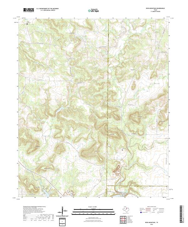
2022 Map of Ross Mountain
USGS Topo · Published 2022About this map
The triple junction of Young, Jack, and Palo Pinto counties defines this landscape of prominent peaks and drainage systems. Historically significant sites such as the Finis Cem and Center Ridge Cem provide anchor points for genealogists researching the families who settled this upland terrain. The topography is dominated by a series of named elevations including Ross Mtn, Bear Mtn, and Indian Mtn, which overlook narrow valleys and winding watercourses like Rock Cr and Connor Creek.
Find a feature on this map
49 named features on this map. Tap any name to fly to it.
Don’t see what you’re looking for? This feature index may not catch every label — zoom into the map to look around manually.
Map Details
Editions of this 2022 Ross Mountain Map
This is the sole edition of this map. No revisions or reprints were ever made.
Other maps of this area

1890 · Breckenridge
USGS Topo · 1:125,000

1891 · Palo Pinto
USGS Topo · 1:125,000

1918 · Palo Pinto
USGS Topo · 1:125,000

1924 · Breckenridge 1-a
USGS Topo · 1:48,000

1924 · Palo Pinto 2-b
USGS Topo · 1:48,000

1924 · Palo Pinto 2-a
USGS Topo · 1:48,000

1924 · Graham 4-d
USGS Topo · 1:48,000

1927 · Graham
USGS Topo · 1:62,500

1927 · Pickwick
USGS Topo · 1:62,500

1931 · Ivan
USGS Topo · 1:62,500