Loading...
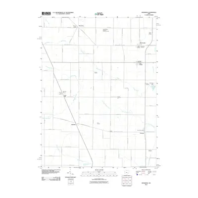
Loading map...2023 Map of Rossburg
USGS Topo · Published 2023About this map
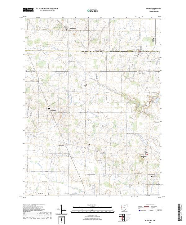
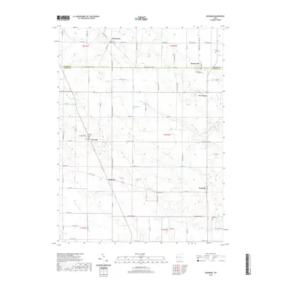
Burkettsville and New Weston anchor this rural landscape along the boundary between Mercer and Darke counties. The area is characterized by its meticulous agricultural grid and a high density of early cemeteries and parish sites, including Saint Pauls Catholic Cem and Saint Bernard Cem. Several small nodes of settlement such as Lightsville, Sharpsburg, and Rose Hill are connected by a web of local roads like Lightsville Northern Rd.
Find a feature on this map
76 named features on this map. Tap any name to fly to it.
Don’t see what you’re looking for? This feature index may not catch every label — zoom into the map to look around manually.
Map Details
Date Portrayed2023
Date Published2023
PublisherU.S. Geological Survey
Map TypeTopographic
Scale1:24,000
Physical Dimensions24 x 29 inches
Editions of this 2023 Rossburg Map
This is the sole edition of this map. No revisions or reprints were ever made.
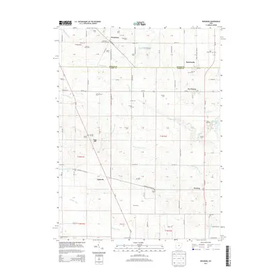
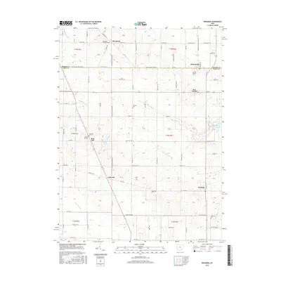
Historical Maps of Rossburg Through Time
6 maps found

Featured Locations
Source Details
SourceU.S. Geological Survey
CopyrightPublic Domain