
1962 Map of Rosser SW
USGS Topo · Published 1965About this map
The Trinity River snakes across the northern landscape of this 1962 survey, marking the jagged boundaries between Ellis, Kaufman, and Henderson Counties. Further south, the topography shifts toward the settlement of Rice, where genealogists will find the Rice Cem and Hopewell Ch. The landscape reflects a mix of early industrial and agricultural uses, with scattered Oil Wells and a Gravel Pit interspersed among rural properties like Valley Farms and Clubhouse Farm.
Find a feature on this map
22 named features on this map. Tap any name to fly to it.
Don’t see what you’re looking for? This feature index may not catch every label — zoom into the map to look around manually.
Map Details
Editions of this 1962 Rosser SW Map
This is the sole edition of this map. No revisions or reprints were ever made.
Other maps of this area

1954 · Dallas
USGS Topo · 1:250,000

1956 · Ennis
USGS Topo · 1:62,500

1958 · Dallas
USGS Topo · 1:250,000

1960 · Grays Prairie
USGS Topo · 1:24,000

1961 · Chatfield
USGS Topo · 1:24,000

1962 · Bazette
USGS Topo · 1:24,000

1962 · Emhouse
USGS Topo · 1:24,000

1962 · Ennis East
USGS Topo · 1:24,000
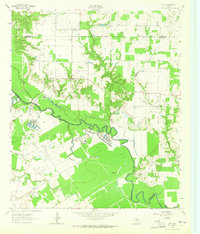
1962 · Styx
USGS Topo · 1:24,000
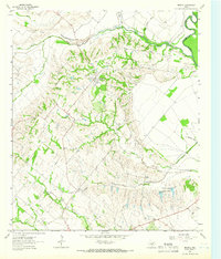
1962 · Bristol
USGS Topo · 1:24,000