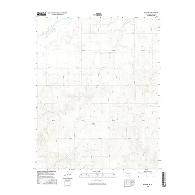
2016 Map of Rosston NE
USGS Topo · Published 2016About this map
The Cimarron River cuts through the northwest corner of this Harper County landscape, defining a terrain shaped by winding creek drainage and a precise section-line road grid. Centrally located within this rural expanse is Pleasant Valley Cem, a local landmark that anchors the surrounding agricultural tracts. The hydrology of the region is characterized by several seasonal waterways, including Redoubt Cr, Clark Cr, and Snake Cr, which meander between the high-numbered north-south and east-west routes like n1810 RD and e0060 RD. This 2016 survey illustrates the persistent spatial organization of the Oklahoma panhandle region, where historical landmarks like Pleasant Valley Cem remain essential points of reference for genealogists and local historians tracing family lands and early rural routes.
Find a feature on this map
22 named features on this map. Tap any name to fly to it.
Don’t see what you’re looking for? This feature index may not catch every label — zoom into the map to look around manually.
Map Details
Editions of this 2016 Rosston NE Map
This is the sole edition of this map. No revisions or reprints were ever made.
Other maps of this area

1894 · Sitka
USGS Topo · 1:62,500

1896 · Ashland
USGS Topo · 1:125,000

1955 · Woodward
USGS Topo · 1:250,000

1955 · Pratt
USGS Topo · 1:250,000

1958 · Woodward
USGS Topo · 1:250,000

1959 · Pratt
USGS Topo · 1:250,000

1970 · Buffalo NW
USGS Topo · 1:24,000
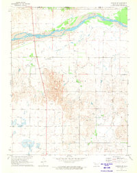
1970 · Rosston NW
USGS Topo · 1:24,000

1970 · Rosston NE
USGS Topo · 1:24,000

1970 · Buffalo
USGS Topo · 1:24,000