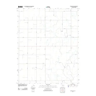
2012 Map of Rosston SE
USGS Topo · Published 2012About this map
Buffalo Creek meanders through this portion of Harper County, carving a drainage pattern that dictates the placement of rural infrastructure in the Oklahoma panhandle region. The landscape is structured by a rigorous section-line road grid, including primary thoroughfares such as E0130 Rd and N1800 Rd, which connect isolated homesteads and ranching operations. Significant for genealogical research are the local burial grounds that serve this sparsely populated area, notably the Doby Springs Cemetery in the northern reaches and Rose Hill Cemetery further south. These sites, along with smaller routes like D1819 Rd, provide a clear picture of the community’s footprint in the early twenty-first century, showing how modern county roads continue to follow the historical township and range system.
Find a feature on this map
21 named features on this map. Tap any name to fly to it.
Don’t see what you’re looking for? This feature index may not catch every label — zoom into the map to look around manually.
Map Details
Editions of this 2012 Rosston SE Map
This is the sole edition of this map. No revisions or reprints were ever made.
Other maps of this area

1955 · Woodward
USGS Topo · 1:250,000

1958 · Woodward
USGS Topo · 1:250,000

1970 · Buffalo NW
USGS Topo · 1:24,000
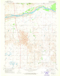
1970 · Rosston NW
USGS Topo · 1:24,000

1970 · Rosston NE
USGS Topo · 1:24,000

1970 · Buffalo
USGS Topo · 1:24,000

1971 · Rosston SE
USGS Topo · 1:24,000

1971 · Rosston
USGS Topo · 1:24,000

1971 · Fort Supply NW
USGS Topo · 1:24,000
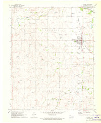
1971 · Laverne
USGS Topo · 1:24,000