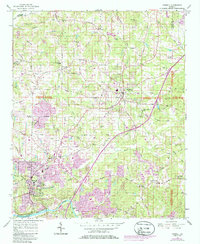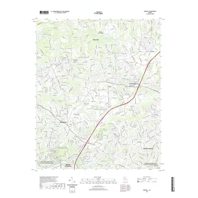
1992 Map of Roswell
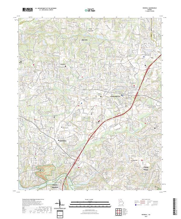
USGS Topo · Published 1993About this map
Alpharetta and Roswell center this early 1990s survey, showing a landscape in transition as suburban development expands into North Fulton. The corridor between these two hubs is densely plotted with neighborhoods and civic institutions, while the northeastern reaches near Webb and Newton still retain more open terrain along Long Indian Creek and Big Creek. Historically significant sites like Old Newton School and the Greenlawn Cemetery are preserved amidst the modern growth of the era. To the south, the Chattahoochee River forms a natural boundary, with the Chattahoochee River National Recreation Area and Martin Lake providing dedicated green space. The map also documents smaller unincorporated communities such as Crabapple and Fields Crossroads, where older rural road networks like Providence Road meet newer arterial developments.
Find a feature on this map
97 named features on this map. Tap any name to fly to it.
Don’t see what you’re looking for? This feature index may not catch every label — zoom into the map to look around manually.
Map Details
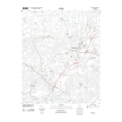
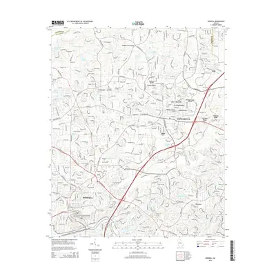
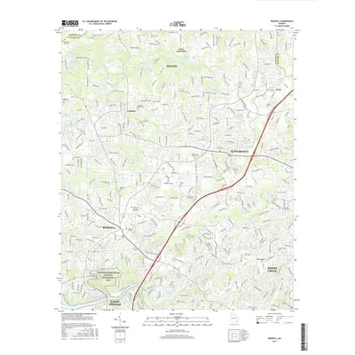
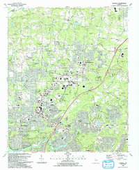
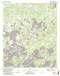
Editions of this 1992 Roswell Map
2 editions found
Historical Maps of Sandy Springs Through Time
7 maps found