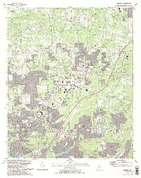
1992 Map of Roswell
USGS Topo · Published 1993About this map
The Chattahoochee River corridor anchors this early 1990s record of northern Georgia, capturing a landscape in the midst of rapid suburban transition. The established centers of Roswell and Alpharetta are shown with expanding corporate and municipal boundaries, yet the map preserves older rural identifiers like Fields Crossroads and Crabapple. Local history is visible in the numerous small burial grounds and houses of worship, including Crabapple Cem and Providence Ch. The topography is defined by the drainage systems of Big Creek and Foe Killer Creek, while the Chattahoochee River National Recreation Area provides a dedicated greenbelt along the southern edge. This period of development is marked by the presence of modern facilities like the County Correction Center and Milton Sch alongside family-named landmarks like Morris Cem.
Find a feature on this map
112 named features on this map. Tap any name to fly to it.
Don’t see what you’re looking for? This feature index may not catch every label — zoom into the map to look around manually.
Map Details
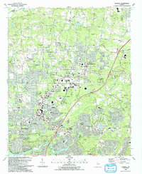
Editions of this 1992 Roswell Map
2 editions found
Other maps of this area

1888 · Atlanta
USGS Topo · 1:125,000

1890 · Suwanee
USGS Topo · 1:125,000

1890 · Atlanta
USGS Topo · 1:125,000

1892 · Atlanta
USGS Topo · 1:125,000

1894 · Suwanee
USGS Topo · 1:125,000

1895 · Atlanta
USGS Topo · 1:125,000

1953 · Atlanta
USGS Topo · 1:250,000

1954 · Chamblee
USGS Topo · 1:24,000

1955 · Rome
USGS Topo · 1:250,000
1955 · Sandy Springs
USGS Topo · 1:24,000