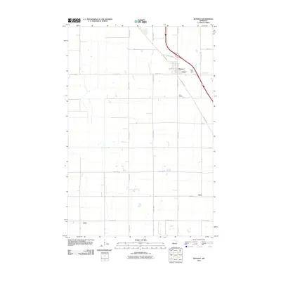
2010 Map of Rothsay
USGS Topo · Published 2010About this map
The town of Rothsay serves as the focal point of this western Minnesota landscape, situated where local travel routes converge near the Rothsay Post Office. The geographic organization of the area is defined by a grid of agricultural section lines and county roads, reflecting the persistent structure of Red River Valley farming communities. Genealogy and local history are anchored by several burial sites scattered across the township, including Our Saviors Cemetery and Hamar Cemetery near the village, and the more distant German Cemetery to the southwest. This 2010 survey by the U.S. Geological Survey shows how modern thoroughfares like County Hwy-11 and County Hwy-19 have integrated with older section roads such as 320th St and 100th Ave, maintaining a rural character defined by small-town hubs and isolated landmarks.
Find a feature on this map
27 named features on this map. Tap any name to fly to it.
Don’t see what you’re looking for? This feature index may not catch every label — zoom into the map to look around manually.
Map Details
Editions of this 2010 Rothsay Map
This is the sole edition of this map. No revisions or reprints were ever made.
Other maps of this area

1913 · Fergus Falls
USGS Topo · 1:62,500

1914 · Pelican Rapids
USGS Topo · 1:62,500

1917 · Pelican Rapids
USGS Topo · 1:62,500

1919 · Rothsay
USGS Topo · 1:62,500

1919 · Barnesville
USGS Topo · 1:62,500

1951 · Rothsay
USGS Topo · 1:62,500

1952 · Barnesville
USGS Topo · 1:62,500

1953 · Fargo
USGS Topo · 1:250,000

1956 · Fargo
USGS Topo · 1:250,000

1966 · Carlisle
USGS Topo · 1:24,000