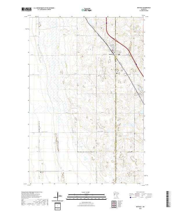
2022 Map of Rothsay
USGS Topo · Published 2022About this map
The boundary between Wilkin Co and Otter Tail Co bisects this landscape, which is defined by the agricultural grid and the transit corridor of the Red River Valley. The town of Rothsay serves as the primary hub, where modern infrastructure intersects with older routes like Old Hwy 52. The placement of Our Saviors Cem and Hamar Cem near the town center, contrasted with the more isolated German Cem to the southwest, suggests a settlement pattern tied to early church parishes and ethnic homesteading groups. The terrain is marked by numerous small wetlands and depressions typical of this glacial plain, networked by a dense system of township and county roads including Co Rd 173 and Co Rd 19 that provide access to the surrounding farmsteads.
Find a feature on this map
44 named features on this map. Tap any name to fly to it.
Don’t see what you’re looking for? This feature index may not catch every label — zoom into the map to look around manually.
Map Details
Editions of this 2022 Rothsay Map
This is the sole edition of this map. No revisions or reprints were ever made.
Other maps of this area

1913 · Fergus Falls
USGS Topo · 1:62,500

1914 · Pelican Rapids
USGS Topo · 1:62,500

1917 · Pelican Rapids
USGS Topo · 1:62,500

1919 · Rothsay
USGS Topo · 1:62,500

1919 · Barnesville
USGS Topo · 1:62,500

1951 · Rothsay
USGS Topo · 1:62,500

1952 · Barnesville
USGS Topo · 1:62,500

1953 · Fargo
USGS Topo · 1:250,000

1956 · Fargo
USGS Topo · 1:250,000

1966 · Carlisle
USGS Topo · 1:24,000