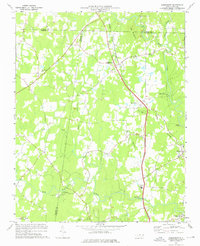
1974 Map of Rougemont
USGS Topo · Published 1976About this map
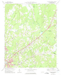
Rougemont and Bahama serve as the primary hubs in this Piedmont landscape, situated where the Norfolk and Western railway cuts through the hills of northern Durham County. The map captures a transition between rural crossroads and early industrial vestiges, notably at Orange Factory along the Little River. The terrain is defined by the prominent Red Mountain, which anchors a community of established country churches such as Red Mountain Ch and Union Grove Ch.
Find a feature on this map
30 named features on this map. Tap any name to fly to it.
Don’t see what you’re looking for? This feature index may not catch every label — zoom into the map to look around manually.
Map Details
Editions of this 1974 Rougemont Map
3 editions found
Other maps of this area

1943 · Roxboro
USGS Topo · 1:62,500

1951 · Durham North
USGS Topo · 1:62,500

1953 · Greensboro
USGS Topo · 1:250,000

1954 · Greensboro
USGS Topo · 1:250,000

1962 · Greensboro
USGS Topo · 1:250,000

1966 · Greensboro
USGS Topo · 1:250,000
1968 · Hillsborough
USGS Topo · 1:24,000

1968 · Caldwell
USGS Topo · 1:24,000

1968 · Hurdle Mills
USGS Topo · 1:24,000
1973 · Northeast Durham
USGS Topo · 1:24,000