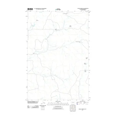
2011 Map of Rough Creek SE
USGS Topo · Published 2011About this map
Gray Ranch and a complex system of water management features define this stretch of Rosebud County during the early 21st century. The landscape is marked by numerous small reservoirs and containment structures, such as Gray Number 13 Dam and Adams Number 4 Dam, which reflect the region's reliance on managed water sources for ranching and agriculture. These named dams, including Hook Number 24 Dam and Montana Number 4 Dam, are situated along seasonal drainages that feed into larger systems like Cottonwood Creek and Wolf Creek.
Find a feature on this map
16 named features on this map. Tap any name to fly to it.
Don’t see what you’re looking for? This feature index may not catch every label — zoom into the map to look around manually.
Map Details
Editions of this 2011 Rough Creek SE Map
This is the sole edition of this map. No revisions or reprints were ever made.
Other maps of this area

1954 · Forsyth
USGS Topo · 1:250,000

1957 · Forsyth
USGS Topo · 1:250,000

1958 · Forsyth
USGS Topo · 1:250,000

1968 · Box Canyon Coulee
USGS Topo · 1:24,000

1968 · Schultz Coulee
USGS Topo · 1:24,000

1968 · Black Coulee
USGS Topo · 1:24,000

1969 · Van Burton Creek
USGS Topo · 1:24,000

1969 · Rudie Coulee
USGS Topo · 1:24,000

1969 · Wild Horse Pass
USGS Topo · 1:24,000
1969 · Rough Creek SE
USGS Topo · 1:24,000