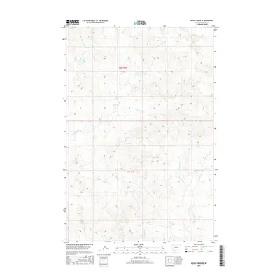
2017 Map of Rough Creek SE
USGS Topo · Published 2017About this map
Rough Creek and its neighboring drainages define the landscape of this Rosebud County region during the early twenty-first century. The map provides a detailed view of the Public Land Survey System divisions, specifically t10n r41e and t9n r41e, which organize this corner of the Montana plains. The terrain is characterized by a complex network of seasonal watercourses, including Cottonwood Cr and its N Fork Cottonwood Cr, alongside Wolf Cr and Cherry Cr. These creek systems illustrate the natural drainage patterns that have historically dictated land use and ranching boundaries in this part of the state.
Find a feature on this map
10 named features on this map. Tap any name to fly to it.
Don’t see what you’re looking for? This feature index may not catch every label — zoom into the map to look around manually.
Map Details
Editions of this 2017 Rough Creek SE Map
This is the sole edition of this map. No revisions or reprints were ever made.
Other maps of this area

1954 · Forsyth
USGS Topo · 1:250,000

1957 · Forsyth
USGS Topo · 1:250,000

1958 · Forsyth
USGS Topo · 1:250,000

1968 · Box Canyon Coulee
USGS Topo · 1:24,000

1968 · Schultz Coulee
USGS Topo · 1:24,000

1968 · Black Coulee
USGS Topo · 1:24,000

1969 · Van Burton Creek
USGS Topo · 1:24,000

1969 · Rudie Coulee
USGS Topo · 1:24,000

1969 · Wild Horse Pass
USGS Topo · 1:24,000
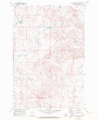
1969 · Rough Creek SE
USGS Topo · 1:24,000