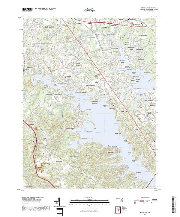
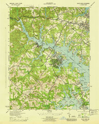
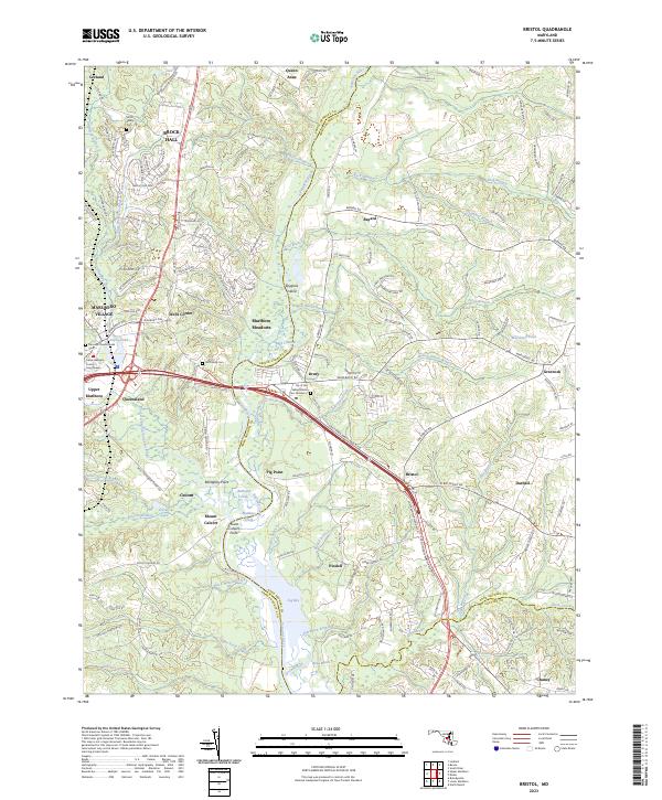
2023 Map of Round Bay
USGS Topo · Published 2023About this map
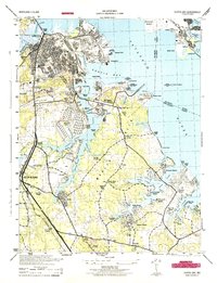
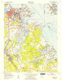
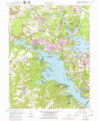
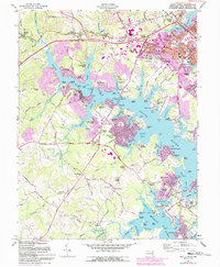
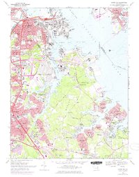
Magothy River and Severn River define the intricate shoreline of this Anne Arundel County landscape, where numerous peninsulas and coves create a complex coastal geography. The map detail highlights the mid-20th-century suburban development patterns as communities like Pasadena, Glen Burnie, and Severna Park expanded toward the water. Notable historical and community landmarks are scattered throughout, including the Crownsville Veterans Cem and the Anne Arundel Community College campus near Arnold Churchyard Cem.
Find a feature on this map
332 named features on this map. Tap any name to fly to it.
Don’t see what you’re looking for? This feature index may not catch every label — zoom into the map to look around manually.
Map Details
Editions of this 2023 Round Bay Map
This is the sole edition of this map. No revisions or reprints were ever made.
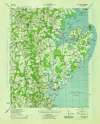
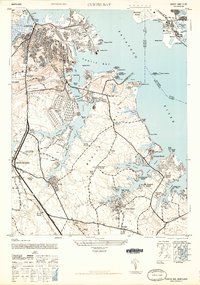
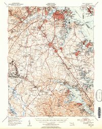
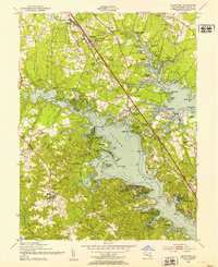
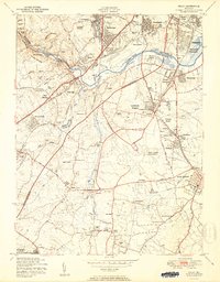
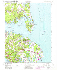
Historical Maps of Indian Village Through Time
37 maps found

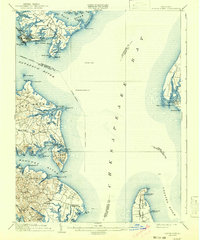
1892 Owensville
Anne Arundel County, MD
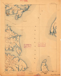
1893 North Point
Anne Arundel County, MD
1894 Relay
Anne Arundel County, MD
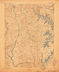
1895 Owensville
Anne Arundel County, MD
1904 North Point
Anne Arundel County, MD
1905 Owensville
Anne Arundel County, MD
1907 Relay
Anne Arundel County, MD

1943 North Point
Anne Arundel County, MD
1944 Bristol
Anne Arundel County, MD
1944 Curtis Bay
Anne Arundel County, MD
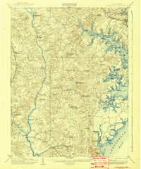
1944 Davidsonville
Anne Arundel County, MD

1944 Gibson Island
Anne Arundel County, MD
1944 Relay
Anne Arundel County, MD
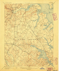
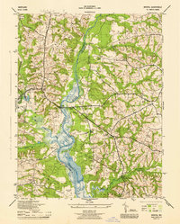
1944 Round Bay
Anne Arundel County, MD
1944 South River
Anne Arundel County, MD
1944 West River
Anne Arundel County, MD
1946 Curtis Bay
Anne Arundel County, MD

1947 North Point
Anne Arundel County, MD
1947 Relay
Anne Arundel County, MD
1949 Curtis Bay
Anne Arundel County, MD
1949 Round Bay
Anne Arundel County, MD
1950 Relay
Anne Arundel County, MD
1954 Gibson Island
Anne Arundel County, MD
1956 Round Bay
Anne Arundel County, MD
1957 Bristol
Anne Arundel County, MD
1957 Curtis Bay
Anne Arundel County, MD
1957 Relay
Anne Arundel County, MD
1957 South River
Anne Arundel County, MD
1969 Curtis Bay
Anne Arundel County, MD
1981 Relay
Anne Arundel County, MD
2023 Bristol
Anne Arundel County, MD
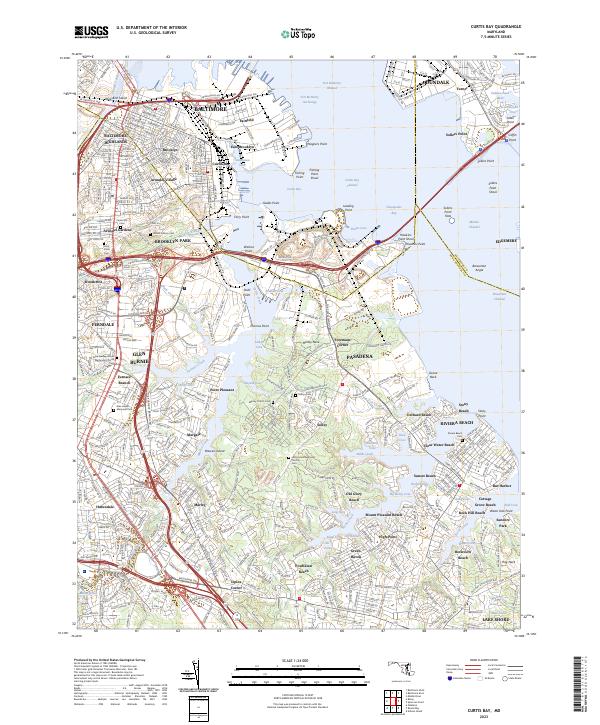
2023 Curtis Bay
Anne Arundel County, MD
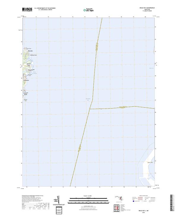
2023 Deale OE E
Anne Arundel County, MD
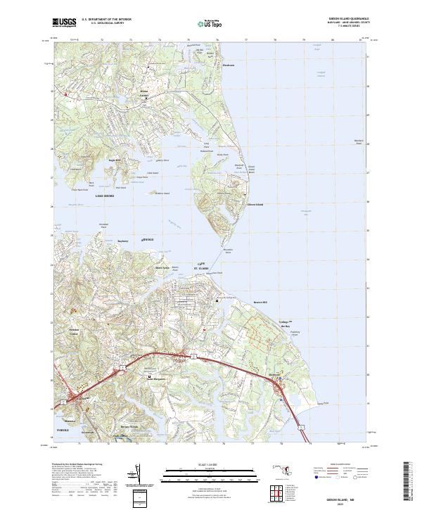
2023 Gibson Island
Anne Arundel County, MD
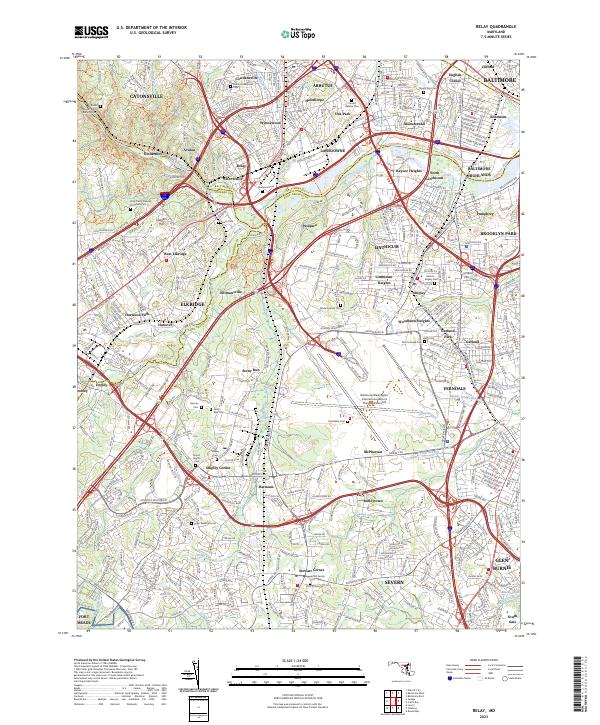
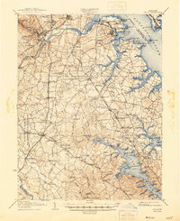
2023 Relay
Anne Arundel County, MD
2023 Round Bay
Anne Arundel County, MD
2023 South River
Anne Arundel County, MD