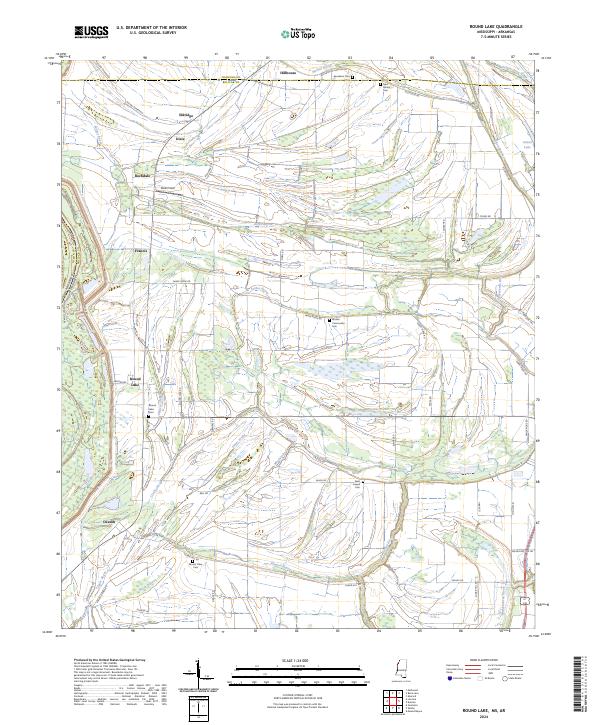
2024 Map of Round Lake
USGS Topo · Published 2024About this map
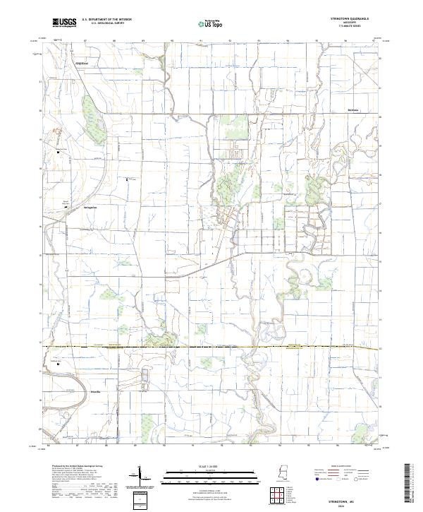
The Hushpuckena River meanders through this portion of the Mississippi Delta, defining a landscape of low-lying wetlands and fertile agricultural plains on the border of Bolivar and Coahoma counties. The area is characterized by a high density of rural cemeteries, including Jerusalem Cem, New Ashley Cem, and Mount Olive Cem, which serve as vital markers for genealogical research in these long-settled farming communities. Small settlements like Deeson, Hillhouse, and Rochdale are linked by a network of drainage bayous such as Jones Bayou and Stokes Bayou, reflecting the intricate water management required in this riverine environment. Large tracts of land under the Farm Service Agency Interest of Mississippi highlight the modern agricultural administration of the territory. Notable local landmarks like Watts Field and Magnolia Hill provide topographic variety in an otherwise level terrain dominated by the expansive Mississippi River levee system.
Find a feature on this map
64 named features on this map. Tap any name to fly to it.
Don’t see what you’re looking for? This feature index may not catch every label — zoom into the map to look around manually.
Map Details
Editions of this 2024 Round Lake Map
This is the sole edition of this map. No revisions or reprints were ever made.
Historical Maps of Deeson Through Time
10 maps found

1939 Choctaw
Bolivar County, MS
1939 Lamont
Bolivar County, MS
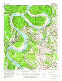
1967 Lobdell
Bolivar County, MS
1967 Stringtown
Bolivar County, MS
1969 Choctaw
Bolivar County, MS
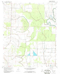
1982 Round Lake
Bolivar County, MS
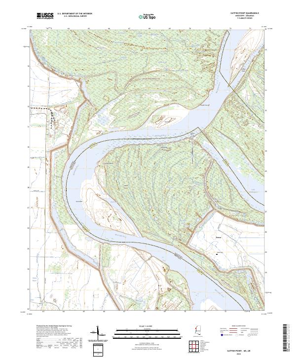
2024 Catfish Point
Bolivar County, MS
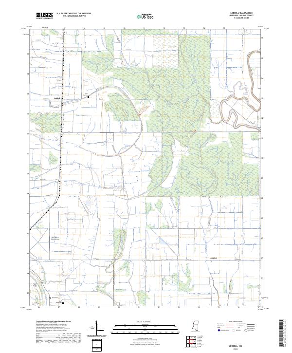
2024 Lobdell
Bolivar County, MS
2024 Round Lake
Bolivar County, MS
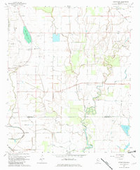
2024 Stringtown
Bolivar County, MS