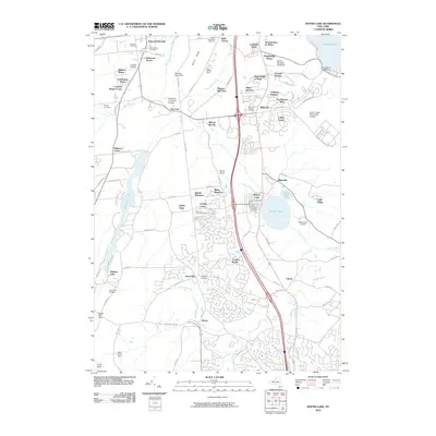
2010 Map of Round Lake
USGS Topo · Published 2010About this map
Saratoga Lake and the village of Ballston Spa anchor this portrait of southern Saratoga County at the start of the 21st century. The landscape is a study in modern suburban transition, where long-standing family farms like Morning Side Farms and Roerig Farms meet contemporary residential developments such as Steeplechase At Malta and Country Knolls. This era shows the expansion of the Luther Forest Technology Campus, signaling a shift toward high-tech industry alongside established recreational landmarks like the Albany-Saratoga Speedway and Southshore Marina.
Find a feature on this map
89 named features on this map. Tap any name to fly to it.
Don’t see what you’re looking for? This feature index may not catch every label — zoom into the map to look around manually.
Map Details
Editions of this 2010 Round Lake Map
This is the sole edition of this map. No revisions or reprints were ever made.
Other maps of this area

1893 · Cohoes
USGS Topo · 1:62,500

1893 · Schenectady
USGS Topo · 1:62,500

1895 · Cohoes
USGS Topo · 1:62,500

1895 · Schenectady
USGS Topo · 1:62,500

1898 · Schenectady
USGS Topo · 1:62,500

1898 · Cohoes
USGS Topo · 1:62,500

1900 · Schuylerville
USGS Topo · 1:62,500

1902 · Saratoga
USGS Topo · 1:62,500

1929 · Cohoes
USGS Topo · 1:62,500

1930 · Schenectady
USGS Topo · 1:62,500