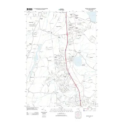
2013 Map of Round Lake
USGS Topo · Published 2013About this map
Round Lake and the surrounding Saratoga County landscape are defined by a complex network of glacial water bodies and modern residential expansion. The area between Ballston Lake and the Hudson watershed shows a dense concentration of historical burial grounds, including the Ballston Cem and the Union Cem, alongside established neighborhoods like Country Knolls and Luther Forest. This modern record reveals how 21st-century suburban development has integrated with early farming legacies at Morning Side Farms and Skipper Hill Farm.
Find a feature on this map
248 named features on this map. Tap any name to fly to it.
Don’t see what you’re looking for? This feature index may not catch every label — zoom into the map to look around manually.
Map Details
Editions of this 2013 Round Lake Map
This is the sole edition of this map. No revisions or reprints were ever made.
Other maps of this area

1893 · Cohoes
USGS Topo · 1:62,500

1893 · Schenectady
USGS Topo · 1:62,500

1895 · Cohoes
USGS Topo · 1:62,500

1895 · Schenectady
USGS Topo · 1:62,500

1898 · Schenectady
USGS Topo · 1:62,500

1898 · Cohoes
USGS Topo · 1:62,500

1900 · Schuylerville
USGS Topo · 1:62,500

1902 · Saratoga
USGS Topo · 1:62,500

1929 · Cohoes
USGS Topo · 1:62,500

1930 · Schenectady
USGS Topo · 1:62,500