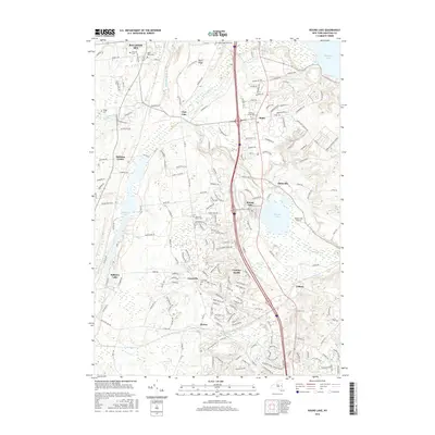
2016 Map of Round Lake
USGS Topo · Published 2016About this map
Round Lake serves as a central landmark in this Saratoga County landscape, where the namesake village and Maltaville are situated near the western shore of Saratoga Lake. The area reflects a complex network of suburban development and historical burial grounds, including the Dunning Street Cem and the Malta Ridge West Cem near Malta Ridge. The topography is defined by significant water systems like the Anthony Kill and Mourning Kill, which carve through the terrain between established communities such as Jonesville and Elnora.
Find a feature on this map
191 named features on this map. Tap any name to fly to it.
Don’t see what you’re looking for? This feature index may not catch every label — zoom into the map to look around manually.
Map Details
Editions of this 2016 Round Lake Map
This is the sole edition of this map. No revisions or reprints were ever made.
Other maps of this area

1893 · Cohoes
USGS Topo · 1:62,500

1893 · Schenectady
USGS Topo · 1:62,500

1895 · Cohoes
USGS Topo · 1:62,500

1895 · Schenectady
USGS Topo · 1:62,500

1898 · Schenectady
USGS Topo · 1:62,500

1898 · Cohoes
USGS Topo · 1:62,500

1900 · Schuylerville
USGS Topo · 1:62,500

1902 · Saratoga
USGS Topo · 1:62,500

1929 · Cohoes
USGS Topo · 1:62,500

1930 · Schenectady
USGS Topo · 1:62,500