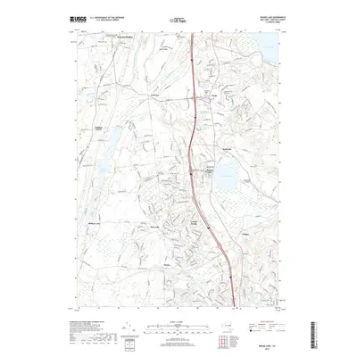
2019 Map of Round Lake
USGS Topo · Published 2019About this map
Ballston Spa and the surrounding Saratoga County corridor are captured here during a period of modern suburban transition. The landscape is defined by the twin anchor points of Ballston Lake and Round Lake, the latter featuring its namesake village and the Round Lake Airport. This era shows significant development around Malta and Malta Ridge, yet the area's older agricultural and early industrial roots remain visible through numerous historic burying grounds, such as Saint Mary's Cem and the East Line Union Cem.
Find a feature on this map
207 named features on this map. Tap any name to fly to it.
Don’t see what you’re looking for? This feature index may not catch every label — zoom into the map to look around manually.
Map Details
Editions of this 2019 Round Lake Map
This is the sole edition of this map. No revisions or reprints were ever made.
Other maps of this area

1893 · Cohoes
USGS Topo · 1:62,500

1893 · Schenectady
USGS Topo · 1:62,500

1895 · Cohoes
USGS Topo · 1:62,500

1895 · Schenectady
USGS Topo · 1:62,500

1898 · Schenectady
USGS Topo · 1:62,500

1898 · Cohoes
USGS Topo · 1:62,500

1900 · Schuylerville
USGS Topo · 1:62,500

1902 · Saratoga
USGS Topo · 1:62,500

1929 · Cohoes
USGS Topo · 1:62,500

1930 · Schenectady
USGS Topo · 1:62,500