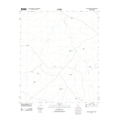
2011 Map of Round Mountain
USGS Topo · Published 2011About this map
Day Ranch sits at the center of this desert landscape, characterized by an intricate drainage system typical of the Arizona-New Mexico borderlands. The topography is defined by significant landmarks like Round Mountain, which overlooks a series of deep cuts including Grayhorse Canyon and Little Grayhorse Canyon to the south. The hydrological patterns are clearly documented, showing how seasonal runoff moves through Coyote Wash, Railroad Wash, and Horseshoe Wash. This 2011 survey captures the area's rural infrastructure, from the isolated Starvation Tank to the primitive routes of Rainville Rd and Co Rd A028, providing a detailed look at the land use and water management in this arid corridor of Greenlee County.
Find a feature on this map
18 named features on this map. Tap any name to fly to it.
Don’t see what you’re looking for? This feature index may not catch every label — zoom into the map to look around manually.
Map Details
Editions of this 2011 Round Mountain Map
This is the sole edition of this map. No revisions or reprints were ever made.
Other maps of this area

1917 · San Simon
USGS Topo · 1:125,000

1926 · Orange Butte
USGS Topo · 1:62,500

1950 · San Simon
USGS Topo · 1:62,500

1951 · San Simon
USGS Topo · 1:62,500

1954 · Silver City
USGS Topo · 1:250,000

1958 · Silver City
USGS Topo · 1:250,000

1959 · Canador Peak
USGS Topo · 1:62,500

1960 · Duncan
USGS Topo · 1:62,500

1962 · Silver City
USGS Topo · 1:250,000
1962 · San Simon
USGS Topo · 1:62,500