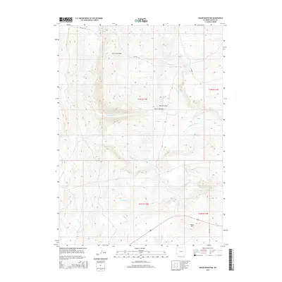
2015 Map of Round Mountain
USGS Topo · Published 2015About this map
The historical Emigrant Trl winds through the northern reaches of this Wyoming landscape, marking a legacy of westward expansion preserved in the terrain of Lincoln County. Rising above the various forks of the local drainage system, Slate Creek Ridge and the prominent Round Mtn anchor the high ground, while water sources such as Mud Spring and Emigrant Spring highlight the essential resources relied upon by travelers following the historic trail. The map documents a complex network of seasonal and permanent water features, including Jenkins Springs and the Elias P Reservoir. The landscape is further defined by its distinct natural depressions and drainage routes, such as Matthews Draw and Horse Trap Draw, which provide a detailed look at the geographic character of the region as it appeared in the early 21st century.
Find a feature on this map
20 named features on this map. Tap any name to fly to it.
Don’t see what you’re looking for? This feature index may not catch every label — zoom into the map to look around manually.
Map Details
Editions of this 2015 Round Mountain Map
This is the sole edition of this map. No revisions or reprints were ever made.
Other maps of this area

1936 · Cokeville
USGS Topo · 1:96,000

1942 · Cokeville
USGS Topo · 1:125,000

1945 · Fort Hill
USGS Topo · 1:62,500

1947 · Fort Hill
USGS Topo · 1:62,500

1954 · Ogden
USGS Topo · 1:250,000

1954 · Kemmerer
USGS Topo · 1:62,500

1955 · Preston
USGS Topo · 1:250,000

1958 · Ogden
USGS Topo · 1:250,000

1958 · Preston
USGS Topo · 1:250,000

1960 · Ogden
USGS Topo · 1:250,000