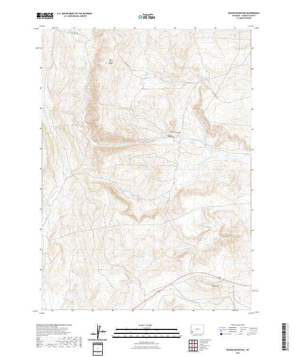
2021 Map of Round Mountain
USGS Topo · Published 2021About this map
Slate Creek Ridge and the prominent Round Mtn anchor this high-elevation landscape in Lincoln County. The drainage patterns are defined by the various branches of Slate Creek, including N Fork Slate Cr, Middle Fork Slate Cr, and S Fork Slate Cr. This terrain is deeply etched with draws and canyons, most notably Matthews Draw and Horse Trap Draw, which suggest a history of seasonal ranching and movement through the high country.
Find a feature on this map
20 named features on this map. Tap any name to fly to it.
Don’t see what you’re looking for? This feature index may not catch every label — zoom into the map to look around manually.
Map Details
Editions of this 2021 Round Mountain Map
This is the sole edition of this map. No revisions or reprints were ever made.
Other maps of this area

1936 · Cokeville
USGS Topo · 1:96,000

1942 · Cokeville
USGS Topo · 1:125,000

1945 · Fort Hill
USGS Topo · 1:62,500

1947 · Fort Hill
USGS Topo · 1:62,500

1954 · Ogden
USGS Topo · 1:250,000

1954 · Kemmerer
USGS Topo · 1:62,500

1955 · Preston
USGS Topo · 1:250,000

1958 · Ogden
USGS Topo · 1:250,000

1958 · Preston
USGS Topo · 1:250,000

1960 · Ogden
USGS Topo · 1:250,000