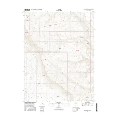
2016 Map of Round Mountain
USGS Topo · Published 2016About this map
Grand Valley and the towering heights of Mt Garfield define the southern edge of this Colorado landscape, where the terrain shifts abruptly from the valley floor into a network of steep canyons and high plateaus. The topography is dominated by dramatic erosional features like the Monument Rocks and the namesake Round Mountain, reflecting a geologic history of uplift and deep incision. Navigating the northern sections of the sheet reveals complex drainage patterns through Cottonwood Canyon and Main Canyon, while the high country includes Indian Park and Pine Ridge. A solitary road, 27 & 1/4 Rd, provides one of the few named access points into this environment of dry washes such as Lewis Wash and Indian Wash. The map documents the intricate township and range boundaries that partitioned these canyons, from t9s r100w down to the margins of the valley.
Find a feature on this map
24 named features on this map. Tap any name to fly to it.
Don’t see what you’re looking for? This feature index may not catch every label — zoom into the map to look around manually.
Map Details
Editions of this 2016 Round Mountain Map
This is the sole edition of this map. No revisions or reprints were ever made.
Other maps of this area

1929 · Roan Creek
USGS Topo · 1:62,500

1955 · Cameo
USGS Topo · 1:24,000

1956 · Grand Junction
USGS Topo · 1:250,000

1959 · Grand Junction
USGS Topo · 1:250,000

1960 · Grand Junction
USGS Topo · 1:250,000

1962 · Grand Junction
USGS Topo · 1:250,000

1962 · Clifton
USGS Topo · 1:24,000

1962 · Grand Junction
USGS Topo · 1:24,000
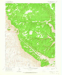
1962 · Round Mountain
USGS Topo · 1:24,000

1962 · Corcoran Point
USGS Topo · 1:24,000