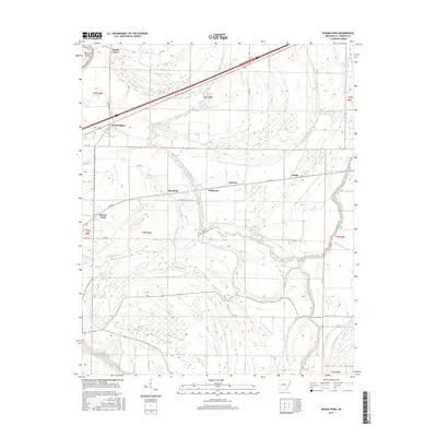
2017 Map of Round Pond
USGS Topo · Published 2017About this map
The Saint Francis River and its intricate network of bayous define this landscape in eastern Arkansas, where the alluvial plain is etched by ancient watercourses and modern drainage patterns. Settlements like Round Pond, Blackfish, and Hicks Station serve as anchors within a region dominated by agricultural fields and swampy lowlands. The presence of Whitmore Cem near the central drainage features provides a vital point of reference for genealogists tracing local families in St. Francis County.
Find a feature on this map
47 named features on this map. Tap any name to fly to it.
Don’t see what you’re looking for? This feature index may not catch every label — zoom into the map to look around manually.
Map Details
Editions of this 2017 Round Pond Map
This is the sole edition of this map. No revisions or reprints were ever made.
Other maps of this area

1931 · Horseshoe Lake
USGS Topo · 1:62,500

1939 · Horseshoe Lake
USGS Topo · 1:62,500

1939 · Park Place
USGS Topo · 1:62,500

1939 · Edmondson
USGS Topo · 1:62,500

1940 · Whitmore
USGS Topo · 1:62,500

1948 · Helena
USGS Topo · 1:250,000

1950 · Helena
USGS Topo · 1:250,000

1953 · Memphis
USGS Topo · 1:250,000

1954 · Horseshoe Lake
USGS Topo · 1:62,500

1954 · Edmondson
USGS Topo · 1:62,500