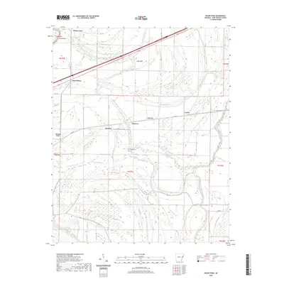
2020 Map of Round Pond
USGS Topo · Published 2020About this map
Round Pond and the surrounding alluvial plains of St. Francis County are defined by a complex network of bayous and low-lying water bodies. This landscape, shaped by the historic movements of the Mississippi River delta, is crisscrossed by waterways such as Tenmile Bayou, Spencer Bayou, and the branching arms of North Blackfish Bayou. The settlement pattern follows these natural corridors, with clusters of activity at Hicks Station, Clarks Corner, and the eponymous Round Pond community.
Find a feature on this map
43 named features on this map. Tap any name to fly to it.
Don’t see what you’re looking for? This feature index may not catch every label — zoom into the map to look around manually.
Map Details
Editions of this 2020 Round Pond Map
This is the sole edition of this map. No revisions or reprints were ever made.
Other maps of this area

1931 · Horseshoe Lake
USGS Topo · 1:62,500

1939 · Horseshoe Lake
USGS Topo · 1:62,500

1939 · Park Place
USGS Topo · 1:62,500

1939 · Edmondson
USGS Topo · 1:62,500

1940 · Whitmore
USGS Topo · 1:62,500

1948 · Helena
USGS Topo · 1:250,000

1950 · Helena
USGS Topo · 1:250,000

1953 · Memphis
USGS Topo · 1:250,000

1954 · Horseshoe Lake
USGS Topo · 1:62,500

1954 · Edmondson
USGS Topo · 1:62,500