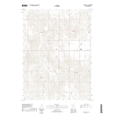
2017 Map of Round Valley
USGS Topo · Published 2017About this map
Round Valley is situated in a landscape defined by rolling topography and distinct regional valleys in Custer County. The area is characterized by the presence of Sargent Valley and Swiss Valley, which reflect the rural settlement patterns of central Nebraska. Water resources are represented by Lillian Cr, which winds through the southwestern portion of the quadrangle. Local history is anchored by the Round Valley Cem, located near the junction of Round Valley Rd and RD 811. The map illustrates a grid of section lines and rural roads, such as RD 445 and RD 447, that serve the isolated farmsteads and agricultural plots of this high plains region. This survey provides a clear view of the township and range divisions, including t19n r19w and t18n r20w, marking the administrative and physical geography of the late 2010s.
Find a feature on this map
21 named features on this map. Tap any name to fly to it.
Don’t see what you’re looking for? This feature index may not catch every label — zoom into the map to look around manually.
Map Details
Editions of this 2017 Round Valley Map
This is the sole edition of this map. No revisions or reprints were ever made.
Other maps of this area

1951 · Broken Bow NE
USGS Topo · 1:24,000

1951 · Westerville
USGS Topo · 1:24,000

1951 · Lillian
USGS Topo · 1:24,000

1951 · Broken Bow
USGS Topo · 1:24,000

1951 · Walworth
USGS Topo · 1:24,000

1951 · Round Valley
USGS Topo · 1:24,000

1951 · Milburn
USGS Topo · 1:24,000

1952 · Sargent West
USGS Topo · 1:24,000

1952 · Sargent SW
USGS Topo · 1:24,000

1955 · Broken Bow
USGS Topo · 1:250,000