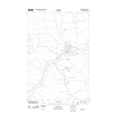
2011 Map of Roundup
USGS Topo · Published 2011About this map
The Musselshell River winds through this central Montana landscape, serving as the geographic anchor for a string of valley settlements including Roundup, Camp Three, and Riverside. This 2011 survey captures the area's deep-rooted coal mining heritage, most notably preserved at the United Mine Workers of America Cemetery and the nearby Miracle Lodge Number 84 Cemetery near Gibbtown. The map illustrates a transition from the structured town grid of Roundup to the more dispersed industrial and residential hamlets of Klein and Farralltown to the south. Local infrastructure is well-defined, from the Roundup Airport and Musselshell County Fairground to the water management at Stella Dam. Numerous drainage features like Deadman Coulee and Fletchers Coulee define the rugged breaks rising from the river valley.
Find a feature on this map
41 named features on this map. Tap any name to fly to it.
Don’t see what you’re looking for? This feature index may not catch every label — zoom into the map to look around manually.
Map Details
Editions of this 2011 Roundup Map
This is the sole edition of this map. No revisions or reprints were ever made.
Other maps of this area

1954 · Roundup
USGS Topo · 1:250,000

1958 · Roundup
USGS Topo · 1:250,000

1979 · Roundup
USGS Topo · 1:100,000

1979 · Harper Coulee
USGS Topo · 1:24,000

1979 · Elso
USGS Topo · 1:24,000

1979 · Horsethief Creek
USGS Topo · 1:24,000

1979 · Gage
USGS Topo · 1:24,000

1979 · Roundup
USGS Topo · 1:24,000

1980 · Signal Mountain
USGS Topo · 1:24,000

1986 · Lake Mason SE
USGS Topo · 1:24,000