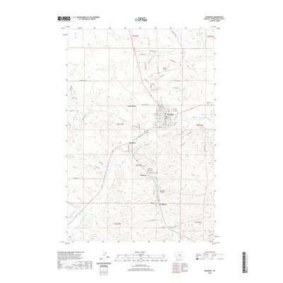
2020 Map of Roundup
USGS Topo · Published 2020About this map
Roundup sits at the heart of this Montana landscape, serving as the seat of government with the Musselshell County Courthouse prominently located downtown. The town is surrounded by a network of smaller named communities that reflect the region's industrial and residential history, including Camp Three, Riverside, and Gibbtown. To the south, the influence of the local labor movement is evident near Klein with the presence of the United Mine Workers of America and the America Cem.
Find a feature on this map
72 named features on this map. Tap any name to fly to it.
Don’t see what you’re looking for? This feature index may not catch every label — zoom into the map to look around manually.
Map Details
Editions of this 2020 Roundup Map
This is the sole edition of this map. No revisions or reprints were ever made.
Other maps of this area
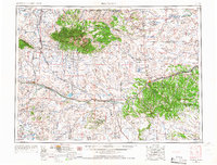
1954 · Roundup
USGS Topo · 1:250,000
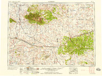
1958 · Roundup
USGS Topo · 1:250,000
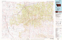
1979 · Roundup
USGS Topo · 1:100,000
1979 · Harper Coulee
USGS Topo · 1:24,000
1979 · Elso
USGS Topo · 1:24,000
1979 · Horsethief Creek
USGS Topo · 1:24,000
1979 · Gage
USGS Topo · 1:24,000
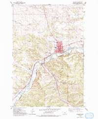
1979 · Roundup
USGS Topo · 1:24,000
1980 · Signal Mountain
USGS Topo · 1:24,000
1986 · Lake Mason SE
USGS Topo · 1:24,000