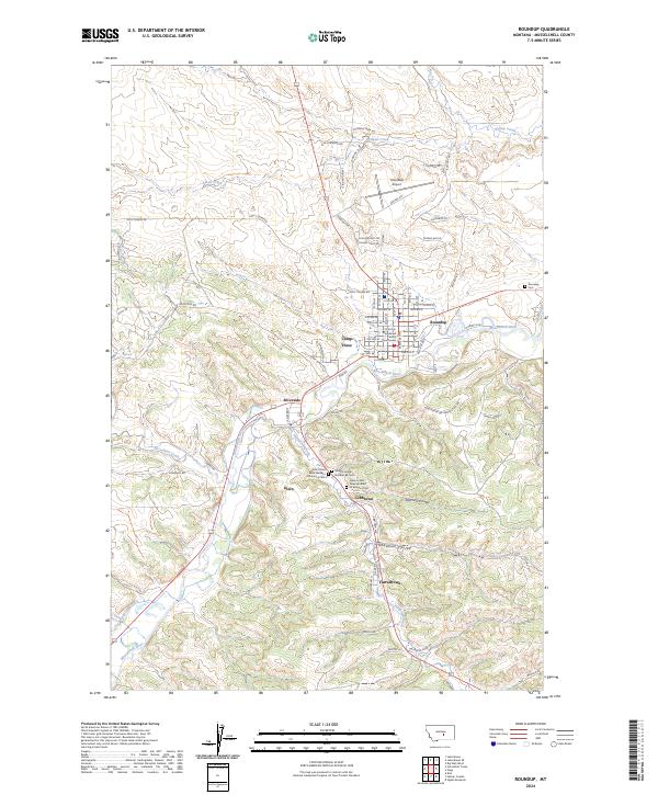
2024 Map of Roundup
USGS Topo · Published 2024About this map
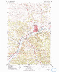
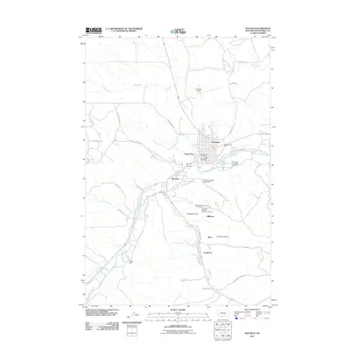
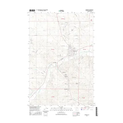
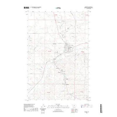
The Musselshell River carves a path through this landscape, anchoring the city of Roundup and its surrounding coal-mining heritage. The map documents a cluster of settlements including Klein, Gibbtown, Riverside, and Farrelltown, which speak to the industrial and labor history of the region. A notable concentration of cemeteries south of Roundup—the Old United Mine Workers of America Cem, New United Mine Workers of America Cem, and Miracle Lodge Number 84 Cem—serves as a poignant reminder of the community's roots in the mining industry.
Find a feature on this map
62 named features on this map. Tap any name to fly to it.
Don’t see what you’re looking for? This feature index may not catch every label — zoom into the map to look around manually.
Map Details
Editions of this 2024 Roundup Map
This is the sole edition of this map. No revisions or reprints were ever made.
Historical Maps of Roundup Through Time
9 maps found
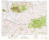
1954 Roundup
Musselshell County, MT
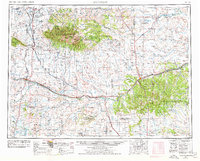
1958 Roundup
Musselshell County, MT
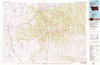
1979 Roundup
Musselshell County, MT
1979 Roundup
Musselshell County, MT
2011 Roundup
Musselshell County, MT

2014 Roundup
Musselshell County, MT
2017 Roundup
Musselshell County, MT
2020 Roundup
Musselshell County, MT
2024 Roundup
Musselshell County, MT