
1907 Map of Rouse Point
USGS Topo · Published 1907About this map
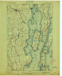
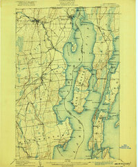
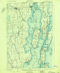
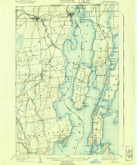
Fort Montgomery stands guard at the northern entrance of the lake, just below the international boundary line where New York, Vermont, and the Dominion of Canada meet. This lakefront landscape is defined by its complex shoreline, characterized by numerous points and bays such as Kings Bay and Monty Bay. The interior of Isle La Motte and the surrounding mainland townships of Champlain, Chazy, and Beekmantown show a dense network of early roads and rail lines, including the Rutland and the Delaware and Hudson.
Find a feature on this map
115 named features on this map. Tap any name to fly to it.
Don’t see what you’re looking for? This feature index may not catch every label — zoom into the map to look around manually.
Map Details
Editions of this 1907 Rouse Point Map
5 editions found
Other maps of this area

1894 · Plattsburg
USGS Topo · 1:62,500

1895 · Mooers
USGS Topo · 1:62,500

1895 · Rouse Point
USGS Topo · 1:62,500

1899 · Mooers
USGS Topo · 1:62,500

1906 · Plattsburg
USGS Topo · 1:62,500

1913 · Dannemora
USGS Topo · 1:62,500

1913 · Milton
USGS Topo · 1:48,000

1914 · St. Albans
USGS Topo · 1:48,000

1915 · Milton
USGS Topo · 1:62,500

1916 · St. Albans
USGS Topo · 1:62,500