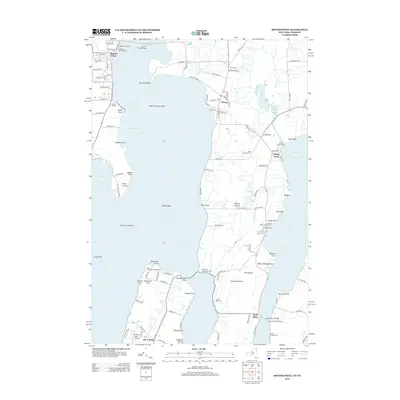
2013 Map of Rouses Point
USGS Topo · Published 2013About this map
Lake Champlain dominates this landscape where New York and Vermont meet at the northern border. The village of Rouses Point serves as a key transit point, connected to the Alburg Tongue by the Rouses Point Bridge. This area is defined by its complex shoreline, featuring numerous named points such as Windmill Point, Point Au Fer, and Reynolds Point that have guided navigation for centuries.
Find a feature on this map
101 named features on this map. Tap any name to fly to it.
Don’t see what you’re looking for? This feature index may not catch every label — zoom into the map to look around manually.
Map Details
Editions of this 2013 Rouses Point Map
This is the sole edition of this map. No revisions or reprints were ever made.
Other maps of this area

1895 · Rouse Point
USGS Topo · 1:62,500

1907 · Rouse Point
USGS Topo · 1:62,500

1914 · St. Albans
USGS Topo · 1:48,000

1916 · St. Albans
USGS Topo · 1:62,500

1939 · Rouses Point
USGS Topo · 1:62,500

1943 · Rouses Point
USGS Topo · 1:62,500

1943 · St. Albans
USGS Topo · 1:62,500

1950 · Lake Champlain
USGS Topo · 1:250,000

1956 · Rouses Point
USGS Topo · 1:62,500

1958 · Lake Champlain
USGS Topo · 1:250,000