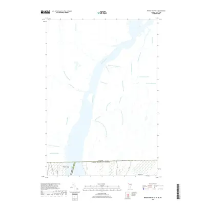
2018 Map of Rouses Point OE N
USGS Topo · Published 2018About this map
The Richelieu River, also identified here as the Rivière Richelieu, dominates this international borderlands survey where New York, Vermont, and Quebec meet. The map documents the northernmost reach of Lake Champlain as it flows toward the St. Lawrence, centered on the strategic waterside settlement of Rouses Point. North of the international boundary, a dense network of small waterways like Ruisseau Goyette, Ruisseau Faddentown, and Rivière Lacolle drain the flat agricultural landscape of the Haut-Richelieu region. This 2018 edition provides a clear view of the modern road network, including Bay Rd and Blair Rd, alongside the complex drainage patterns and wetlands that define this low-lying fluvial corridor.
Find a feature on this map
31 named features on this map. Tap any name to fly to it.
Don’t see what you’re looking for? This feature index may not catch every label — zoom into the map to look around manually.
Map Details
Editions of this 2018 Rouses Point OE N Map
This is the sole edition of this map. No revisions or reprints were ever made.
Other maps of this area

1895 · Rouse Point
USGS Topo · 1:62,500

1907 · Rouse Point
USGS Topo · 1:62,500

1914 · St. Albans
USGS Topo · 1:48,000

1916 · St. Albans
USGS Topo · 1:62,500

1939 · Rouses Point
USGS Topo · 1:62,500

1943 · Rouses Point
USGS Topo · 1:62,500

1943 · St. Albans
USGS Topo · 1:62,500

1950 · Lake Champlain
USGS Topo · 1:250,000

1956 · Rouses Point
USGS Topo · 1:62,500

1958 · Lake Champlain
USGS Topo · 1:250,000