Loading...
Loading map...2024 Map of Rouses Point OE N
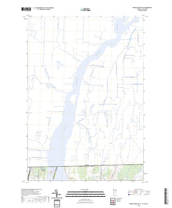
USGS Topo · Published 2024This historical map portrays the area of Rouses Point OE N in 2024, primarily covering Grand Isle County as well as portions of New York. Featuring a scale of 1:24000, this map provides a highly detailed snapshot of the terrain, roads, buildings, counties, and historical landmarks in the Rouses Point OE N region at the time. Published in 2024, it is the sole known edition of this map.
Map Details
Date Portrayed2024
Date Published2024
PublisherU.S. Geological Survey
Map TypeTopographic
Scale1:24000
Physical Dimensions24 x 29 inches
Editions of this 2024 Rouses Point OE N Map
This is the sole edition of this map. No revisions or reprints were ever made.
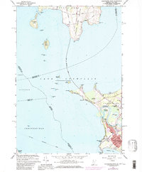
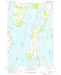
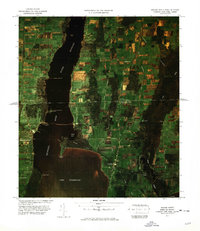
Historical Maps of Rouses Point Through Time
6 maps found
Featured Locations
Source Details
SourceU.S. Geological Survey
CopyrightPublic Domain