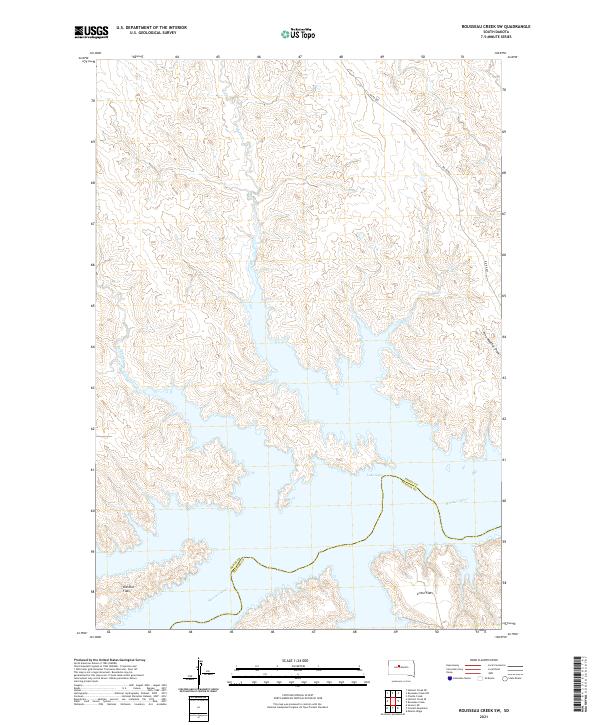
2021 Map of Rousseau Creek SW
USGS Topo · Published 2021About this map
Missouri River waters dominate the southern reaches of this landscape, where the massive impoundment of Lake Oahe creates a complex, branching shoreline. The boundary between Dewey County and Stanley County follows the old river channel, now submerged beneath the reservoir. North of the water, the terrain is defined by a series of drainages including Fishgut Cr, Sage Cr, and Paradis Cr, which carve through the high prairie toward the river valley. Sparse infrastructure characterizes the region, with BIA Rd 803 providing the primary overland access through the northern sections. This topography reveals the distinct contrast between the flat, elevated reaches of Kid Rich Flats and Little Flats and the deeply eroded coulees like Fine Weather Draw that lead down to the reservoir edge.
Find a feature on this map
16 named features on this map. Tap any name to fly to it.
Don’t see what you’re looking for? This feature index may not catch every label — zoom into the map to look around manually.
Map Details
Editions of this 2021 Rousseau Creek SW Map
This is the sole edition of this map. No revisions or reprints were ever made.
Other maps of this area

1954 · Pierre
USGS Topo · 1:250,000

1956 · Rousseau Creek SW
USGS Topo · 1:24,000

1956 · Herbert Creek SE
USGS Topo · 1:24,000

1956 · Sansarc NE
USGS Topo · 1:24,000

1956 · Crockett Mountains
USGS Topo · 1:24,000

1958 · Pierre
USGS Topo · 1:250,000

1969 · Rousseau Creek
USGS Topo · 1:24,000

1981 · Charlie Creek
USGS Topo · 1:24,000

1981 · Rousseau Creek NW
USGS Topo · 1:24,000

1981 · Herbert Creek NE
USGS Topo · 1:24,000