
1936 Map of Rover
USGS Topo · Published 1936About this map
The Duck River winds through this 1930s landscape, marking the rural boundary where Rutherford and Bedford counties meet. This area is characterized by a dense network of family-named cemeteries and small community hubs like Rover and Longview. The land transitions from the Boily Bottoms up toward the Tennessee Basin Divide, which is punctuated by landmarks such as Bunker Hill and Versailles Knob.
Find a feature on this map
72 named features on this map. Tap any name to fly to it.
Don’t see what you’re looking for? This feature index may not catch every label — zoom into the map to look around manually.
Map Details
Editions of this 1936 Rover Map
This is the sole edition of this map. No revisions or reprints were ever made.
Other maps of this area

1916 · Murfreesboro
USGS Topo · 1:62,500

1936 · Chapel Hill
USGS Topo · 1:24,000

1936 · Farmington
USGS Topo · 1:24,000

1936 · Deason
USGS Topo · 1:24,000

1936 · Unionville
USGS Topo · 1:24,000

1936 · Fosterville
USGS Topo · 1:24,000

1942 · Lebanon
USGS Topo · 1:100,000

1944 · Shelbyville
USGS Topo · 1:100,000
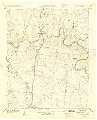
1947 · Farmington
USGS Topo · 1:24,000
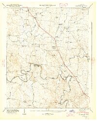
1947 · Unionville
USGS Topo · 1:24,000