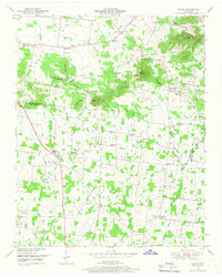
1949 Map of Rover
USGS Topo · Published 1966About this map
Rover and Versailles anchor this 1949 topographic survey along the border of Rutherford and Bedford counties. The landscape is defined by the Tennessee Valley Divide, where water flows north through Concord Creek and south via Weakly Creek and Alexander Creek. This era reveals a rural community supported by local centers like Puckett Store and Cater Crossroads, along with numerous small family-named cemeteries such as Bellerfant Cem and Gentry Cem.
Find a feature on this map
82 named features on this map. Tap any name to fly to it.
Don’t see what you’re looking for? This feature index may not catch every label — zoom into the map to look around manually.
Map Details
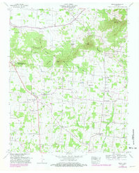
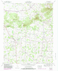
Editions of this 1949 Rover Map
3 editions found
Other maps of this area

1916 · Murfreesboro
USGS Topo · 1:62,500

1936 · Chapel Hill
USGS Topo · 1:24,000

1936 · Farmington
USGS Topo · 1:24,000

1936 · Rover
USGS Topo · 1:24,000

1936 · Deason
USGS Topo · 1:24,000

1936 · Unionville
USGS Topo · 1:24,000

1936 · Fosterville
USGS Topo · 1:24,000

1942 · Lebanon
USGS Topo · 1:100,000

1944 · Shelbyville
USGS Topo · 1:100,000
1947 · Farmington
USGS Topo · 1:24,000