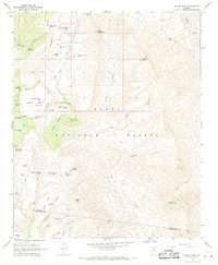
1967 Map of Rover Peak
USGS Topo · Published 1968About this map
The Red Rover Mine sits near the southern boundary of this remote canyon landscape, marking a legacy of mineral exploration within the Tonto National Forest. Surveyed in the late 1960s, the terrain is defined by a complex network of deep drainages including Tangle Creek, Lime Creek, and Hell Canyon, which descend from high features like Rover Peak and Sunset Mtn. Human presence is sparse, centered on the Cavness Ranch and a series of livestock infrastructure such as Indian Ruin Tank and Lockwood Mesa Tank.
Find a feature on this map
76 named features on this map. Tap any name to fly to it.
Don’t see what you’re looking for? This feature index may not catch every label — zoom into the map to look around manually.
Map Details
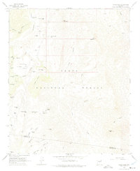
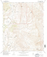
Editions of this 1967 Rover Peak Map
3 editions found
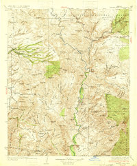
Other maps of this area

1887 · Verde
USGS Topo · 1:250,000

1892 · Verde
USGS Topo · 1:250,000

1929 · Turret Peak
USGS Topo · 1:125,000

1930 · Cave Creek
USGS Topo · 1:125,000
1933 · Turret Peak
USGS Topo · 1:125,000

1939 · Cave Creek
USGS Topo · 1:125,000

1954 · Holbrook
USGS Topo · 1:250,000

1954 · Mesa
USGS Topo · 1:250,000

1957 · Mesa
USGS Topo · 1:250,000

1957 · Holbrook
USGS Topo · 1:250,000