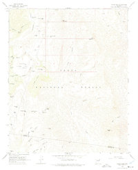
1967 Map of Rover Peak
USGS Topo · Published 1975About this map
Tonto National Forest land dominates this high-desert terrain, where water sources were critical to the late-1960s ranching and mining operations. The map documents numerous cattle tanks and springs, such as Stone Camp Spring and Indian Ruin Tank, indicating a landscape managed for livestock even in this arid environment. The most prominent industrial landmark is the Red Rover Mine located in the southern portion of the sheet near the Yavapai and Maricopa county line.
Find a feature on this map
59 named features on this map. Tap any name to fly to it.
Don’t see what you’re looking for? This feature index may not catch every label — zoom into the map to look around manually.
Map Details
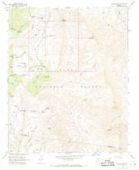
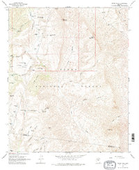
Editions of this 1967 Rover Peak Map
3 editions found
Other maps of this area

1887 · Verde
USGS Topo · 1:250,000

1892 · Verde
USGS Topo · 1:250,000

1929 · Turret Peak
USGS Topo · 1:125,000

1930 · Cave Creek
USGS Topo · 1:125,000

1933 · Turret Peak
USGS Topo · 1:125,000

1939 · Cave Creek
USGS Topo · 1:125,000

1954 · Holbrook
USGS Topo · 1:250,000

1954 · Mesa
USGS Topo · 1:250,000

1957 · Mesa
USGS Topo · 1:250,000

1957 · Holbrook
USGS Topo · 1:250,000