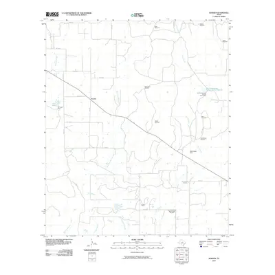
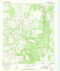
2010 Map of Rowden
USGS Topo · Published 2010About this map
Rowden serves as the central focal point for this rural Callahan County landscape, where the agricultural and ranching heritage of the Texas plains is clearly visible through a network of water conservation and land management features. Numerous named windmills, such as High Windmill and Sneed Windmill, are scattered across the terrain, indicating the vital importance of groundwater for local operations. The map documents significant infrastructure for water control, including the Soil Conservation Service Site 1a Reservoir and the Soil Conservation Service Site 18a Dam, which manage the flow of drainages like Turkey Creek and Burnt Branch.
Find a feature on this map
37 named features on this map. Tap any name to fly to it.
Don’t see what you’re looking for? This feature index may not catch every label — zoom into the map to look around manually.
Map Details
Editions of this 2010 Rowden Map
This is the sole edition of this map. No revisions or reprints were ever made.
Other maps of this area

1931 · Baird
USGS Topo · 1:125,000

1932 · Baird
USGS Topo · 1:125,000

1954 · Abilene
USGS Topo · 1:250,000

1958 · Abilene
USGS Topo · 1:250,000
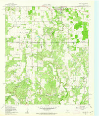
1960 · Cross Cut
USGS Topo · 1:24,000
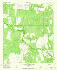
1960 · Webbville
USGS Topo · 1:24,000
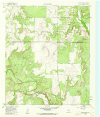
1960 · Crooked Creek
USGS Topo · 1:24,000

1966 · Putnam South
USGS Topo · 1:24,000

1966 · Admiral
USGS Topo · 1:24,000
1966 · Cub Hollow
USGS Topo · 1:24,000