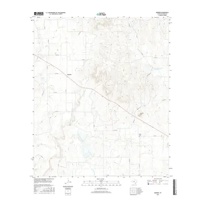
2016 Map of Rowden
USGS Topo · Published 2016About this map
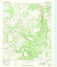
Rowden serves as the central point of reference in this Callahan County landscape, situated where the terrain begins to rise toward the prominent height of W Caddo Peak. The area is defined by a dense network of seasonal drainages, including Turkey Cr and the multiple forks of the Burnt Branch system, such as W Prong Burnt Br and Burnt Br. These waterways cut through the elevation, creating a complex series of ridges and draws characteristic of this part of West Texas.
Find a feature on this map
31 named features on this map. Tap any name to fly to it.
Don’t see what you’re looking for? This feature index may not catch every label — zoom into the map to look around manually.
Map Details
Editions of this 2016 Rowden Map
This is the sole edition of this map. No revisions or reprints were ever made.
Other maps of this area

1931 · Baird
USGS Topo · 1:125,000

1932 · Baird
USGS Topo · 1:125,000

1954 · Abilene
USGS Topo · 1:250,000

1958 · Abilene
USGS Topo · 1:250,000
1960 · Cross Cut
USGS Topo · 1:24,000
1960 · Webbville
USGS Topo · 1:24,000
1960 · Crooked Creek
USGS Topo · 1:24,000

1966 · Putnam South
USGS Topo · 1:24,000

1966 · Admiral
USGS Topo · 1:24,000
1966 · Cub Hollow
USGS Topo · 1:24,000